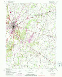
1951 Map of Gettysburg
USGS Topo · Published 1990About this map
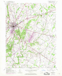
Gettysburg serves as the hub of this mid-century topographic survey, showing the town at a point of significant post-war modernization alongside its deeply preserved commemorative landscape. While the borough expands near the County Home and Warner Hospital, the surrounding fields remain defined by the monuments and markers of the Gettysburg National Military Park. Military history researchers can trace the tactical positions along Seminary Ridge and Cemetery Hill, or locate smaller features like The Angle and Devils Den in relation to the era's roads.
Find a feature on this map
61 named features on this map. Tap any name to fly to it.
Don’t see what you’re looking for? This feature index may not catch every label — zoom into the map to look around manually.
Map Details
Editions of this 1951 Gettysburg Map
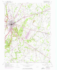
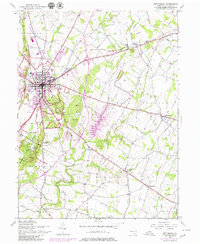
7 editions found
Other maps of this area

1908 · Gettysburg
USGS Topo · 1:62,500

1909 · Fairfield
USGS Topo · 1:62,500

1911 · Taneytown
USGS Topo · 1:62,500

1911 · Emmitsburg
USGS Topo · 1:62,500

1942 · Gettysburg
USGS Topo · 1:125,000

1943 · Emmitsburg
USGS Topo · 1:62,500

1944 · Gettysburg
USGS Topo · 1:31,680

1944 · Mc Sherrystown
USGS Topo · 1:31,680

1944 · Littlestown
USGS Topo · 1:31,680

1944 · Arendtsville
USGS Topo · 1:31,680