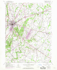
1951 Map of Gettysburg
USGS Topo · Published 1969About this map
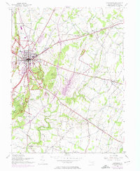
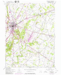
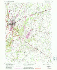
Gettysburg National Military Park dominates the landscape of this mid-century survey, meticulously detailing the hallowed grounds of the 1863 battlefield as they appeared during the post-war era. The map records the precise locations of the State Memorial and Peace Memorial, alongside famous tactical landmarks like Devils Den, Little Round Top, and The Angle. Beyond the preservation boundaries, the town of Gettysburg is shown in its 1950s footprint with a 1968 photorevision overlay, revealing suburban growth and infrastructure such as the WGET Radio Mast and the County Home. Transport patterns are defined by the convergence of the Western Maryland RR and Reading RR near the Lincoln Highway. Surrounding rural communities like Bonneauville and Barlow remain centered on traditional institutions like St Marks Ch and Pine Bank Cem, illustrating the enduring agricultural character of Adams County.
Find a feature on this map
60 named features on this map. Tap any name to fly to it.
Don’t see what you’re looking for? This feature index may not catch every label — zoom into the map to look around manually.
Map Details
Editions of this 1951 Gettysburg Map
7 editions found
Other maps of this area

1908 · Gettysburg
USGS Topo · 1:62,500

1909 · Fairfield
USGS Topo · 1:62,500

1911 · Taneytown
USGS Topo · 1:62,500

1911 · Emmitsburg
USGS Topo · 1:62,500

1942 · Gettysburg
USGS Topo · 1:125,000

1943 · Emmitsburg
USGS Topo · 1:62,500

1944 · Gettysburg
USGS Topo · 1:31,680

1944 · Mc Sherrystown
USGS Topo · 1:31,680

1944 · Littlestown
USGS Topo · 1:31,680

1944 · Arendtsville
USGS Topo · 1:31,680