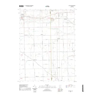
2019 Map of Gettysburg
USGS Topo · Published 2019About this map
Bradford and Gettysburg anchor the northern landscape of this region along the Darke Co Miami Co line. The terrain is defined by a dense network of township and county roads, reflecting a long-established agricultural grid that supports numerous small crossroads settlements. Greenville Creek meanders through the northeast, past several family and community burial grounds including Greenville Creek Cem and Deeter Cem. The map reveals a high concentration of small rural hamlets like Union Corners, Red River, and Painter Creek, each situated at strategic road junctions. Genealogists will find particular value in the clearly marked locations of Cromer Cem and Newcomers Cem, which are tucked away from the main thoroughfares. Modern additions like Kemps Field of Dreams Airport sit alongside older drainage features like Heller Ditch, illustrating how the landscape continues to adapt to local aviation and water management needs.
Find a feature on this map
64 named features on this map. Tap any name to fly to it.
Don’t see what you’re looking for? This feature index may not catch every label — zoom into the map to look around manually.
Map Details
Editions of this 2019 Gettysburg Map
This is the sole edition of this map. No revisions or reprints were ever made.
Other maps of this area
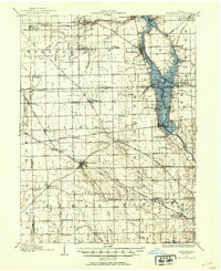
1905 · Brookville
USGS Topo · 1:62,500
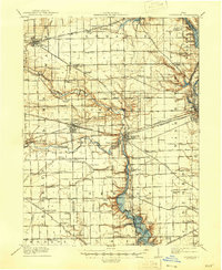
1911 · Covington
USGS Topo · 1:62,500
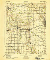
1944 · Covington
USGS Topo · 1:62,500
1953 · Cincinnati
USGS Topo · 1:250,000
1953 · Muncie
USGS Topo · 1:250,000
1955 · West Milton
USGS Topo · 1:24,000
1956 · Muncie
USGS Topo · 1:250,000
1957 · Cincinnati
USGS Topo · 1:250,000
1961 · Laura
USGS Topo · 1:24,000
1961 · Dawn
USGS Topo · 1:24,000