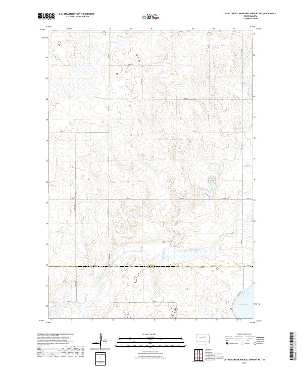
2021 Map of Gettysburg Municipal Airport NE
USGS Topo · Published 2021About this map
Okobojo Creek meanders through the central and southern reaches of this landscape, a defining watercourse that cuts through the High Plains terrain. The map documents a predominantly rural expanse where the boundary between Potter Co and Sully Co is clearly demarcated by 172nd St. The hydrography of the region is punctuated by Stone Lake in the southeast corner and several seasonal wetland depressions, particularly visible in the northwest. This 2021 survey reveals a highly organized section-line road system, with routes like 315th Ave and 320th Ave facilitating travel through this agricultural region. The drainage patterns of Okobojo Cr dictate the local topography, creating subtle elevation changes in an otherwise consistent prairie environment.
Find a feature on this map
27 named features on this map. Tap any name to fly to it.
Don’t see what you’re looking for? This feature index may not catch every label — zoom into the map to look around manually.
Map Details
Editions of this 2021 Gettysburg Municipal Airport NE Map
This is the sole edition of this map. No revisions or reprints were ever made.
Other maps of this area

1953 · Huron
USGS Topo · 1:250,000

1954 · Aberdeen
USGS Topo · 1:250,000

1954 · Huron
USGS Topo · 1:250,000

1956 · Aberdeen
USGS Topo · 1:250,000

1974 · Gettysburg Municipal Airport SE
USGS Topo · 1:24,000
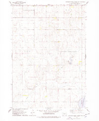
1974 · Gettysburg Muni. Airport NE
USGS Topo · 1:24,000
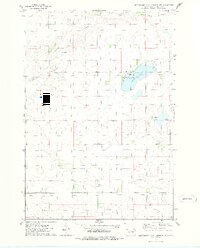
1974 · Gettysburg Municipal Airport SW
USGS Topo · 1:24,000
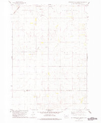
1978 · Gettysburg Muni. Airport
USGS Topo · 1:24,000
1978 · Gettysburg
USGS Topo · 1:24,000
1978 · Thomas Lake SW
USGS Topo · 1:24,000