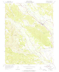
1955 Map of Geyserville
USGS Topo · Published 1975About this map
The Russian River carves through the fertile Alexander Valley in this 1950s survey, illustrating the vital corridor that supported Sonoma County's agricultural growth. The Northwestern Pacific railroad runs parallel to the Redwood Highway, anchoring the small settlements of Geyserville, Chianti, and Nervo. To the west, the landscape rises toward the summit of Bradford Mtn, where a network of trails and roads like Dutcher Creek Road and Walling Road navigate the complex topography of the Rincon De Musalacon land grant.
Find a feature on this map
52 named features on this map. Tap any name to fly to it.
Don’t see what you’re looking for? This feature index may not catch every label — zoom into the map to look around manually.
Map Details
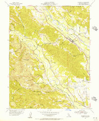
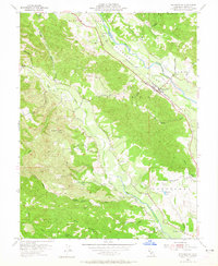
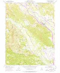
Editions of this 1955 Geyserville Map
4 editions found
Other maps of this area

1920 · Healdsburg
USGS Topo · 1:62,500

1921 · Skaggs
USGS Topo · 1:62,500

1921 · Kelseyville
USGS Topo · 1:62,500

1933 · Healdsburg
USGS Topo · 1:48,000

1938 · Hopland
USGS Topo · 1:62,500

1940 · Healdsburg
USGS Topo · 1:62,500

1943 · Cazadero
USGS Topo · 1:24,000

1943 · Skaggs Springs
USGS Topo · 1:24,000

1943 · Kelseyville
USGS Topo · 1:62,500

1943 · Hopland
USGS Topo · 1:62,500