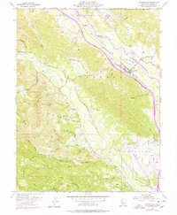
1955 Map of Geyserville
USGS Topo · Published 1978About this map
Alexander Valley dominates the northeastern landscape of this mid-century survey, where the Russian River winds past the established community of Geyserville. The economic and social geography of the era is clearly defined by the parallel routes of the Redwood Highway and the Northwestern Pacific railroad, which connect smaller sidings and points like Chianti, Omus, and Nervo. These transport corridors served the region's agricultural interests, linking orchards and vineyards to larger markets.
Find a feature on this map
47 named features on this map. Tap any name to fly to it.
Don’t see what you’re looking for? This feature index may not catch every label — zoom into the map to look around manually.
Map Details
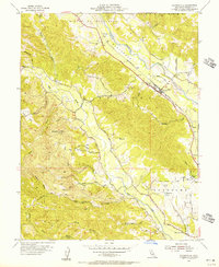
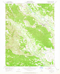
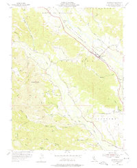
Editions of this 1955 Geyserville Map
4 editions found
Other maps of this area

1920 · Healdsburg
USGS Topo · 1:62,500

1921 · Skaggs
USGS Topo · 1:62,500

1921 · Kelseyville
USGS Topo · 1:62,500

1933 · Healdsburg
USGS Topo · 1:48,000

1938 · Hopland
USGS Topo · 1:62,500

1940 · Healdsburg
USGS Topo · 1:62,500

1943 · Cazadero
USGS Topo · 1:24,000

1943 · Skaggs Springs
USGS Topo · 1:24,000

1943 · Kelseyville
USGS Topo · 1:62,500

1943 · Hopland
USGS Topo · 1:62,500