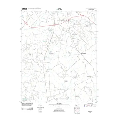
2011 Map of Ghio
USGS Topo · Published 2011About this map
Lightwood Knot Creek and Crooked Creek define the drainage of this borderland landscape, where the state line between North Carolina and South Carolina cuts through a region of rural settlements and small family burial grounds. This 2011 survey shows a community anchored by several small hubs, including Steen Town to the north and Green Pond to the southeast. The geography is notable for its numerous small impoundments such as Roscoe Pond, James Pond, and Terry Pond, often accompanied by local infrastructure like the James Pond Dam. Local history is preserved in the high density of named cemeteries scattered across the countryside, from Mount Moriah Cemetery and Tabernacle Cemetery to the smaller English Cemetery and Quick Cemetery. These sites, alongside landmarks like Aarons Temple and Ghio Scholl Station, reveal a settlement pattern tied to early transit routes and agricultural activity like that at the Wilva Fruit Farm.
Find a feature on this map
128 named features on this map. Tap any name to fly to it.
Don’t see what you’re looking for? This feature index may not catch every label — zoom into the map to look around manually.
Map Details
Editions of this 2011 Ghio Map
This is the sole edition of this map. No revisions or reprints were ever made.
Other maps of this area

1942 · Rockingham
USGS Topo · 1:125,000

1949 · Gibson
USGS Topo · 1:24,000

1949 · Ghio
USGS Topo · 1:24,000

1949 · Marston
USGS Topo · 1:24,000

1949 · Hamlet
USGS Topo · 1:24,000

1949 · Hamlet
USGS Topo · 1:62,500

1953 · Florence
USGS Topo · 1:250,000

1954 · Florence
USGS Topo · 1:250,000
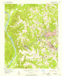
1956 · Rockingham
USGS Topo · 1:24,000
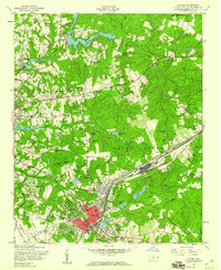
1957 · Hamlet
USGS Topo · 1:24,000