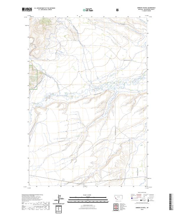
2024 Map of Gibbons School
USGS Topo · Published 2024About this map
The North Fork Big Hole River winds through this section of Beaverhead National Forest, defining a high-elevation landscape where water and wilderness management intersect. Numerous drainages such as Mussigbrod Creek, Plimpton Creek, and Johnson Creek feed into the river system, illustrating the complex watershed of this region in Beaverhead County. The road network, including Upper North Fork Rd and Mussigbrod Rd, provides access into the public lands, tracing the paths utilized by foresters and local ranchers for generations.
Find a feature on this map
14 named features on this map. Tap any name to fly to it.
Don’t see what you’re looking for? This feature index may not catch every label — zoom into the map to look around manually.
Map Details
Editions of this 2024 Gibbons School Map
This is the sole edition of this map. No revisions or reprints were ever made.
Other maps of this area

1955 · Dillon
USGS Topo · 1:250,000

1957 · Dillon
USGS Topo · 1:250,000

1958 · Dillon
USGS Topo · 1:250,000

1962 · Dillon
USGS Topo · 1:250,000

1962 · Wisdom
USGS Topo · 1:24,000

1962 · Mud Lake
USGS Topo · 1:24,000

1962 · Pintlar Lake
USGS Topo · 1:24,000

1965 · Dillon
USGS Topo · 1:250,000

1966 · Gibbons School
USGS Topo · 1:24,000

1966 · Big Hole Battlefield
USGS Topo · 1:24,000