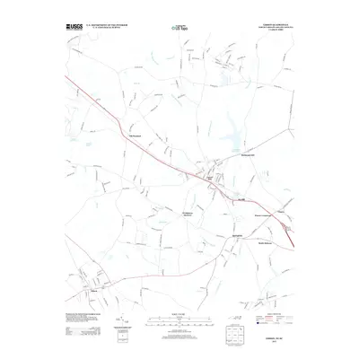
2013 Map of Gibson
USGS Topo · Published 2013About this map
The town of Gibson sits at the southwestern edge of this landscape, where local streets like Railroad St, Oil Mill Rd, and Guthrie St reflect the area's agricultural and industrial foundations. To the northeast, the community centers around Laurel Hill and Ida Mill, where the water resources of Ida-Mill Pond and the expansive Richmond Mill Lake define the local geography.
Find a feature on this map
150 named features on this map. Tap any name to fly to it.
Don’t see what you’re looking for? This feature index may not catch every label — zoom into the map to look around manually.
Map Details
Editions of this 2013 Gibson Map
This is the sole edition of this map. No revisions or reprints were ever made.
Other maps of this area

1942 · Rockingham
USGS Topo · 1:125,000

1949 · Gibson
USGS Topo · 1:24,000

1949 · Ghio
USGS Topo · 1:24,000

1949 · Laurinburg
USGS Topo · 1:24,000

1949 · Silver Hill
USGS Topo · 1:24,000

1949 · Marston
USGS Topo · 1:24,000

1949 · Hamlet
USGS Topo · 1:24,000

1949 · Hamlet
USGS Topo · 1:62,500

1949 · Laurinburg
USGS Topo · 1:62,500

1953 · Florence
USGS Topo · 1:250,000