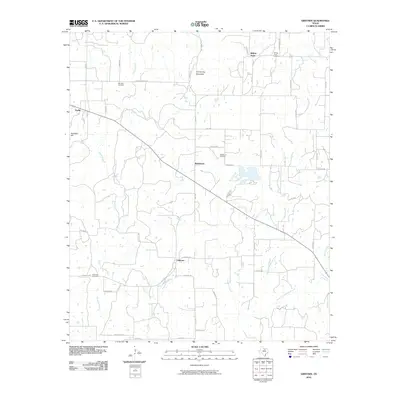
2010 Map of Gibtown
USGS Topo · Published 2010About this map
Gibtown and its neighboring rural communities are defined by a complex network of county roads and creek drainages in this North Texas landscape. The settlement of Westbrook serves as a central point for the area, located near Westbrook Cemetery and the upper reaches of Boons Creek. The terrain is punctuated by significant elevations such as Armstrong Mountain and Wampler Hill, while the drainage system of Jasper Creek and Elm Pool Creek dictates the movement across the land. Genealogy researchers will find substantial value in the documented locations of several local burial grounds, including Fairview Cemetery near the northern boundary and Ebenezer Cemetery further south. The map reflects a predominantly agricultural and ranching lifestyle, evidenced by many named routes like Henderson Rch Rd and Lonestar Rd that connect isolated homesteads and small communities like Joplin and Willow Point.
Find a feature on this map
48 named features on this map. Tap any name to fly to it.
Don’t see what you’re looking for? This feature index may not catch every label — zoom into the map to look around manually.
Map Details
Editions of this 2010 Gibtown Map
This is the sole edition of this map. No revisions or reprints were ever made.
Other maps of this area

1891 · Weatherford
USGS Topo · 1:125,000

1891 · Palo Pinto
USGS Topo · 1:125,000

1893 · Weatherford
USGS Topo · 1:125,000

1918 · Palo Pinto
USGS Topo · 1:125,000

1927 · Mineral Wells
USGS Topo · 1:62,500

1954 · Dallas
USGS Topo · 1:250,000

1954 · Sherman
USGS Topo · 1:250,000

1954 · Abilene
USGS Topo · 1:250,000

1954 · Wichita Falls
USGS Topo · 1:250,000

1958 · Dallas
USGS Topo · 1:250,000