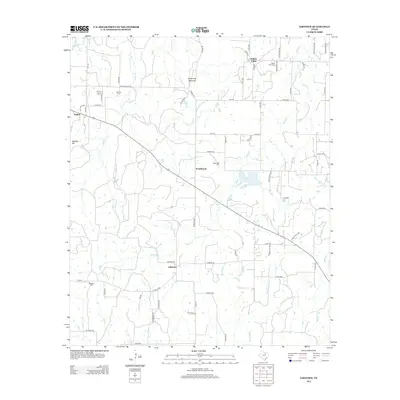
2013 Map of Gibtown
USGS Topo · Published 2013About this map
Gibtown serves as a central point in this rural Jack County landscape, where the road network converges near the banks of Boons Cr. The terrain is defined by localized elevations such as Armstrong Mountain and Wampler Hill, which overlook a network of small creeks and cattle tanks typical of North Texas ranching country. Settlement is clustered into small communities like Willow Point and Westbrook, each anchored by historical burial grounds including Willow Point Cem and Westbrook Cem. A sophisticated grid of county roads and private ranch tracks, such as Henderson Rch Rd and Sartain Rd, connects these scattered homesteads. The presence of multiple cemeteries like Fairview Cem and Ebenezer Cem suggests a long-standing pattern of family-centered settlement across the drainage basins of Jasper Cr and Rock Cr.
Find a feature on this map
73 named features on this map. Tap any name to fly to it.
Don’t see what you’re looking for? This feature index may not catch every label — zoom into the map to look around manually.
Map Details
Editions of this 2013 Gibtown Map
This is the sole edition of this map. No revisions or reprints were ever made.
Other maps of this area
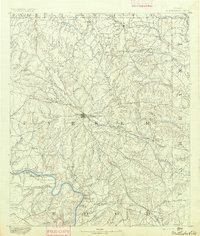
1891 · Weatherford
USGS Topo · 1:125,000
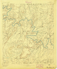
1891 · Palo Pinto
USGS Topo · 1:125,000
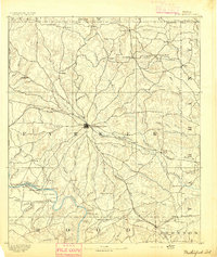
1893 · Weatherford
USGS Topo · 1:125,000
1918 · Palo Pinto
USGS Topo · 1:125,000
1927 · Mineral Wells
USGS Topo · 1:62,500

1954 · Dallas
USGS Topo · 1:250,000

1954 · Sherman
USGS Topo · 1:250,000

1954 · Abilene
USGS Topo · 1:250,000

1954 · Wichita Falls
USGS Topo · 1:250,000

1958 · Dallas
USGS Topo · 1:250,000