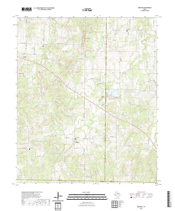
2022 Map of Gibtown
USGS Topo · Published 2022About this map
Gibtown and Joplin anchor this rural landscape in Jack County, where the terrain transitions from the heights of Armstrong Mtn and Wampler Hill into a network of creek drainages. The map reveals a high density of small family and community burial grounds, including Fairview Cem, Westbrook Cem, and Ebenezer Cem, which are invaluable for genealogical research in this part of North Texas. These sites are linked by a dense web of ranch roads such as Henderson Ranch Rd and Beitel Ranch Rd, tracing the legacy of local landholdings. Waterways like Boons Cr and Jasper Cr carve through the topography, illustrating the natural drainage patterns that have historically dictated the placement of homesteads and grazing lands across this tri-county border region where Jack, Wise, and Parker counties meet.
Find a feature on this map
72 named features on this map. Tap any name to fly to it.
Don’t see what you’re looking for? This feature index may not catch every label — zoom into the map to look around manually.
Map Details
Editions of this 2022 Gibtown Map
This is the sole edition of this map. No revisions or reprints were ever made.
Other maps of this area

1891 · Weatherford
USGS Topo · 1:125,000

1891 · Palo Pinto
USGS Topo · 1:125,000

1893 · Weatherford
USGS Topo · 1:125,000

1918 · Palo Pinto
USGS Topo · 1:125,000

1927 · Mineral Wells
USGS Topo · 1:62,500

1954 · Dallas
USGS Topo · 1:250,000

1954 · Sherman
USGS Topo · 1:250,000

1954 · Abilene
USGS Topo · 1:250,000

1954 · Wichita Falls
USGS Topo · 1:250,000

1958 · Dallas
USGS Topo · 1:250,000