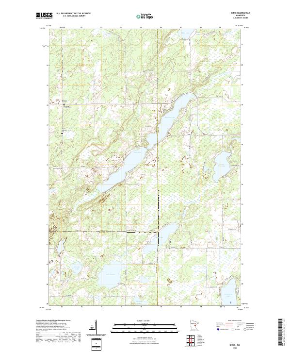
2022 Map of Giese
USGS Topo · Published 2022About this map
Giese serves as the primary settlement hub in this region where Aitkin, Pine, and Kanabec counties meet. The landscape is defined by an intricate network of water bodies, notably the elongated Big Pine Lake and Pine Lake, which are connected by the Pine River. This 2022 survey illustrates a modern rural infrastructure of county highways and local roads like Sunset Lodge Rd and Shady Point Rd that provide access to the numerous lakefronts. Cultural landmarks significant to local genealogy include the Immanuel Lutheran Cem near the town center and the Wagner Township Cem to the south. The southern portion of the map transitions into a dense concentration of smaller named lakes, including the uniquely numbered Lake Eleven, Lake Twelve, and Thirteen Lake, alongside the larger Grindstone Lake and Bass Lake. These features suggest a region heavily shaped by glacial activity and contemporary recreation.
Find a feature on this map
66 named features on this map. Tap any name to fly to it.
Don’t see what you’re looking for? This feature index may not catch every label — zoom into the map to look around manually.
Map Details
Editions of this 2022 Giese Map
This is the sole edition of this map. No revisions or reprints were ever made.
Other maps of this area

1953 · Duluth
USGS Topo · 1:250,000

1958 · Duluth
USGS Topo · 1:250,000

1961 · Sandstone
USGS Topo · 1:62,500

1961 · Moose Lake
USGS Topo · 1:62,500

1968 · Kroschel NW
USGS Topo · 1:24,000

1968 · Pomroy Lake
USGS Topo · 1:24,000

1968 · Giese
USGS Topo · 1:24,000
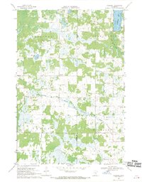
1968 · Kroschel
USGS Topo · 1:24,000

1969 · Solana
USGS Topo · 1:24,000

1969 · Arthyde
USGS Topo · 1:24,000