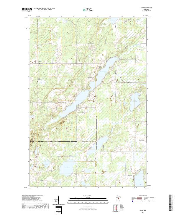
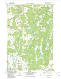
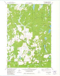
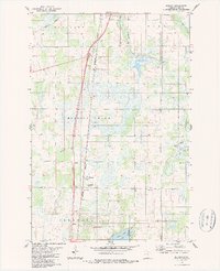
2022 Map of Giese
USGS Topo · Published 2022This historical map portrays the area of Giese in 2022, primarily covering Pine County as well as portions of Kanabec County and Aitkin County. Featuring a scale of 1:24000, this map provides a highly detailed snapshot of the terrain, roads, buildings, counties, and historical landmarks in the Giese region at the time. Published in 2022, it is the sole known edition of this map.
Map Details
Editions of this 2022 Giese Map
This is the sole edition of this map. No revisions or reprints were ever made.
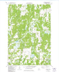
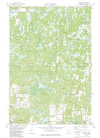
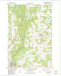
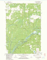
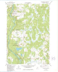
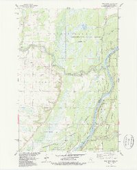
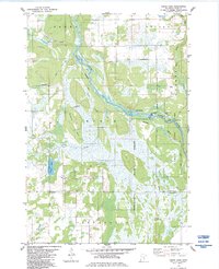
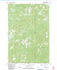
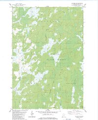
Historical Maps of Bremen Township Through Time
31 maps found

1949 Holyoke
Pine County, MN
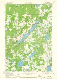
1962 Cloverdale
Pine County, MN
1962 Holyoke
Pine County, MN
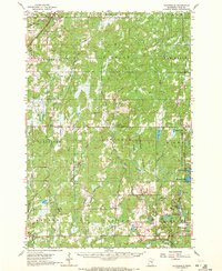
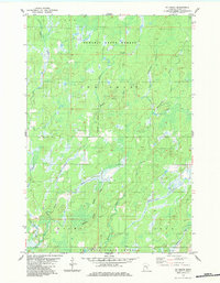
1968 Giese
Pine County, MN
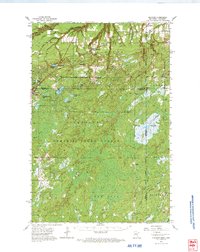
1981 Askov Lookout Tower
Pine County, MN
1981 Cloverdale
Pine County, MN
1981 Duxbury
Pine County, MN
1981 Sandstone North
Pine County, MN
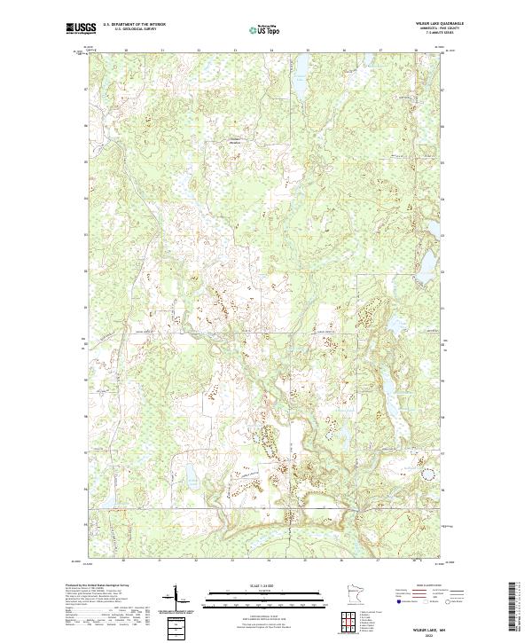
1981 Wilbur Lake
Pine County, MN
1982 Lake Clayton
Pine County, MN
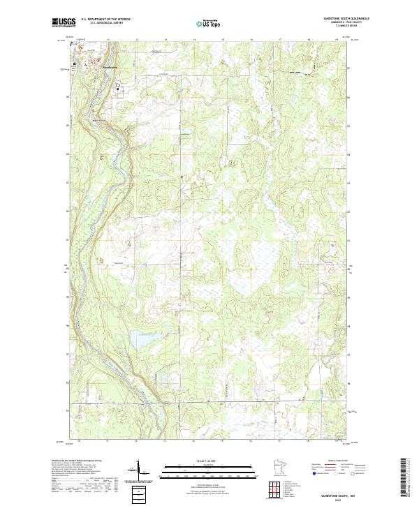
1982 Sandstone South
Pine County, MN
1983 Bass Creek
Pine County, MN
1983 Beroun
Pine County, MN
1983 Cedar Lake
Pine County, MN
1983 Cloverton
Pine County, MN
1983 Holyoke SW
Pine County, MN
1983 Ox Creek
Pine County, MN
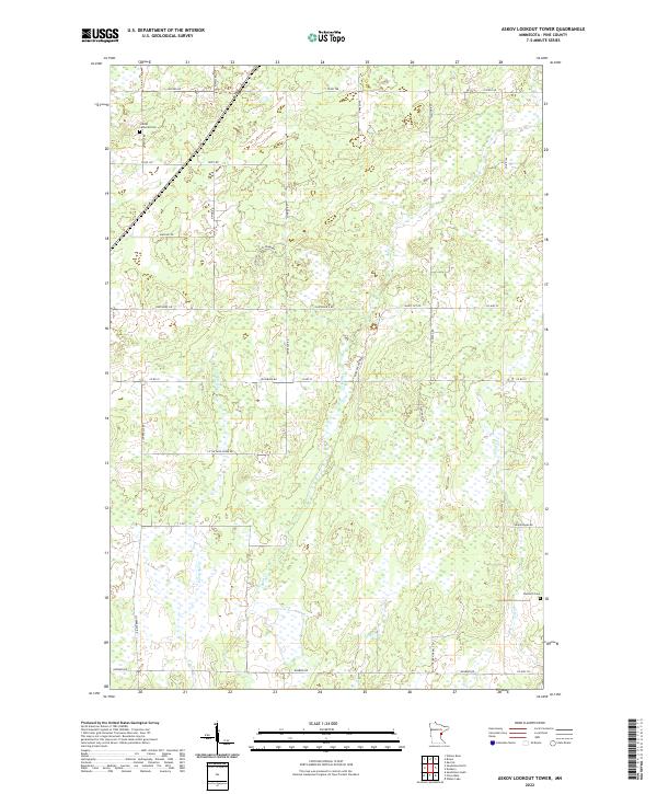
2022 Askov Lookout Tower
Pine County, MN
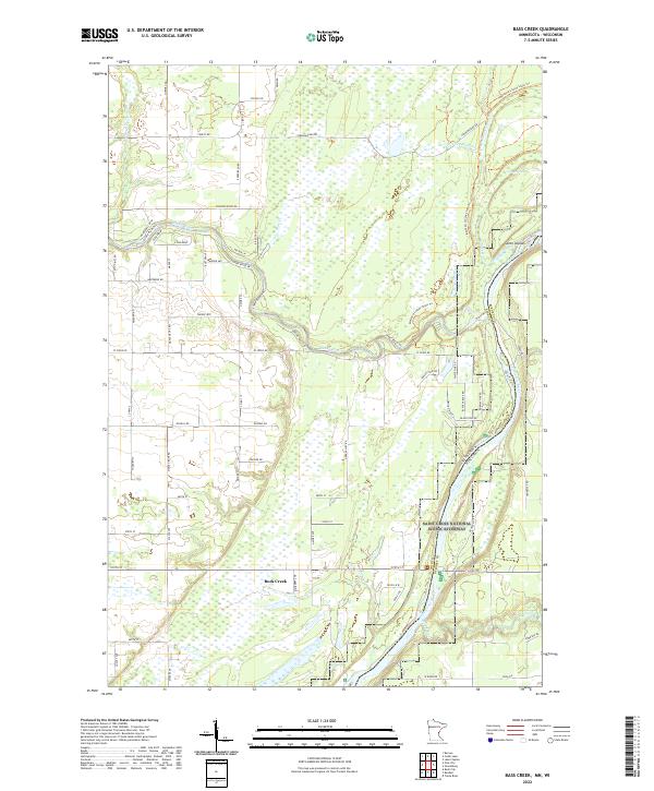
2022 Bass Creek
Pine County, MN
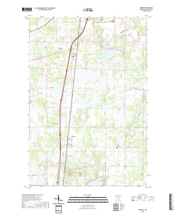
2022 Beroun
Pine County, MN
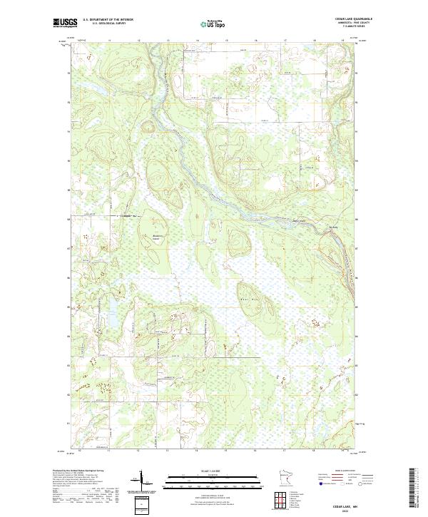
2022 Cedar Lake
Pine County, MN
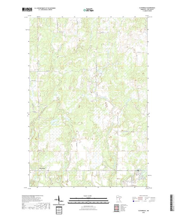
2022 Cloverdale
Pine County, MN
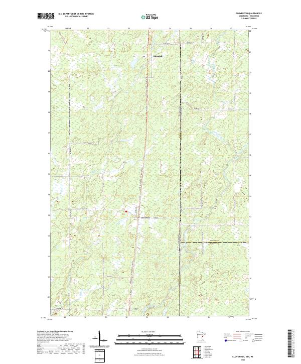
2022 Cloverton
Pine County, MN
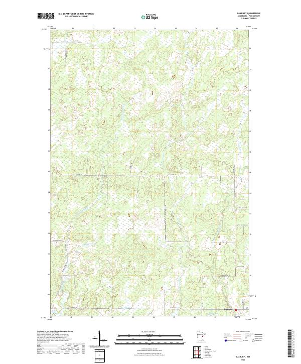
2022 Duxbury
Pine County, MN
2022 Giese
Pine County, MN
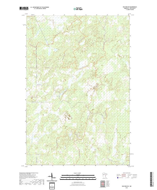
2022 Holyoke SW
Pine County, MN
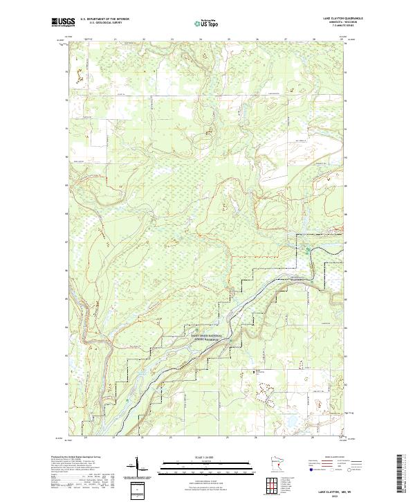
2022 Lake Clayton
Pine County, MN
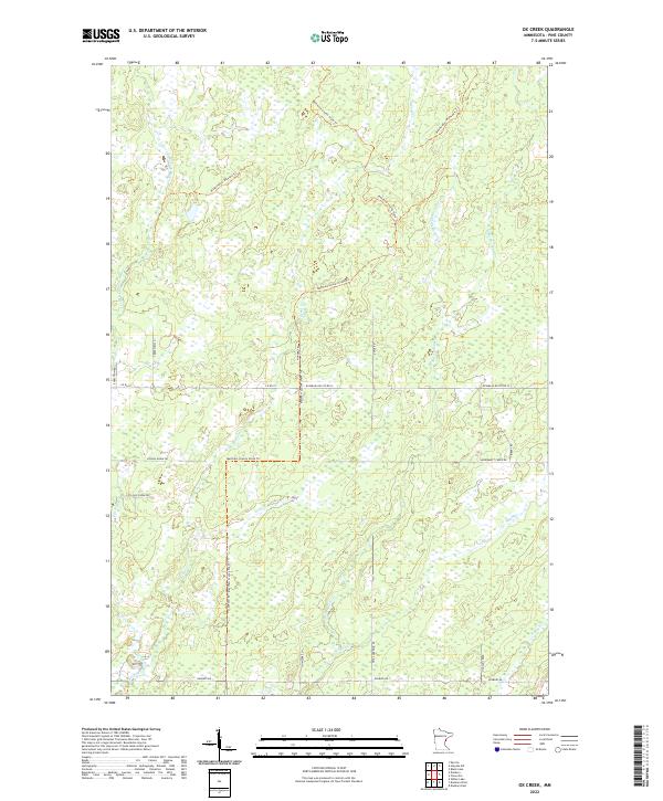
2022 Ox Creek
Pine County, MN
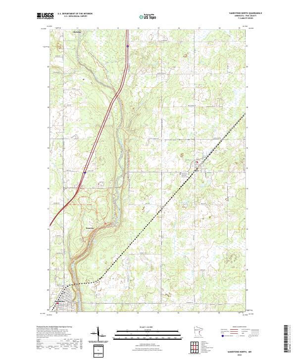
2022 Sandstone North
Pine County, MN
2022 Sandstone South
Pine County, MN
2022 Wilbur Lake
Pine County, MN