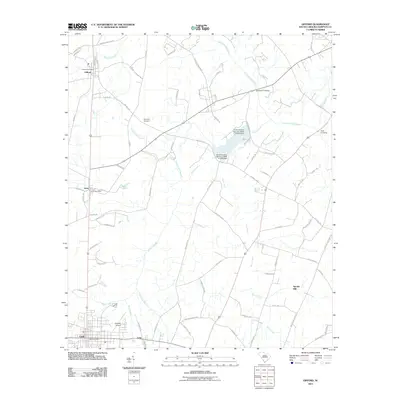
2011 Map of Gifford
USGS Topo · Published 2011About this map
Gifford and Luray anchor the northern landscape of this South Carolina Lowcountry map, showing the established infrastructure of the early 21st century. The Coosawhatchie River defines the northeastern boundary, while a complex network of tributaries like Trowells Mill Branch and Black Creek crisscross the rural terrain. Local connectivity is centered around the Gifford Post Office and Luray Post Office, reflecting the enduring importance of these small community hubs.
Find a feature on this map
74 named features on this map. Tap any name to fly to it.
Don’t see what you’re looking for? This feature index may not catch every label — zoom into the map to look around manually.
Map Details
Editions of this 2011 Gifford Map
This is the sole edition of this map. No revisions or reprints were ever made.
Other maps of this area

1918 · Varnville
USGS Topo · 1:62,500

1919 · Pineland
USGS Topo · 1:62,500

1919 · Shirley
USGS Topo · 1:62,500

1920 · Peeples
USGS Topo · 1:62,500

1943 · Pineland
USGS Topo · 1:62,500

1943 · Peeples
USGS Topo · 1:62,500

1943 · Shirley
USGS Topo · 1:62,500

1944 · Varnville
USGS Topo · 1:62,500

1947 · Savannah
USGS Topo · 1:250,000

1948 · Savannah
USGS Topo · 1:250,000