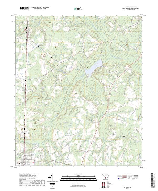
2024 Map of Gifford
USGS Topo · Published 2024About this map
Lake George Warren and the Coosawhatchie River dominate this Lowcountry landscape in Hampton County, where timber and agriculture have long shaped local life. Small, historic settlements like Gifford, Luray, and Lena are connected by a network of rural routes such as Hopewell Rd and Deer Rd, following the higher ground between swampy drainages. The area around Estill shows more concentrated development, including Harpers Airport and a grid of residential streets.
Find a feature on this map
91 named features on this map. Tap any name to fly to it.
Don’t see what you’re looking for? This feature index may not catch every label — zoom into the map to look around manually.
Map Details
Editions of this 2024 Gifford Map
This is the sole edition of this map. No revisions or reprints were ever made.
Other maps of this area
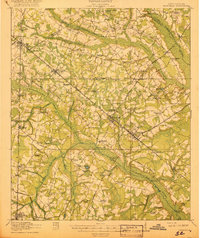
1918 · Varnville
USGS Topo · 1:62,500
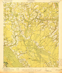
1919 · Pineland
USGS Topo · 1:62,500
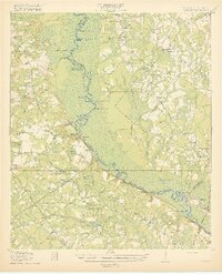
1919 · Shirley
USGS Topo · 1:62,500
1920 · Peeples
USGS Topo · 1:62,500
1943 · Pineland
USGS Topo · 1:62,500
1943 · Peeples
USGS Topo · 1:62,500
1943 · Shirley
USGS Topo · 1:62,500
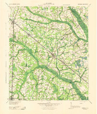
1944 · Varnville
USGS Topo · 1:62,500

1947 · Savannah
USGS Topo · 1:250,000
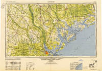
1948 · Savannah
USGS Topo · 1:250,000