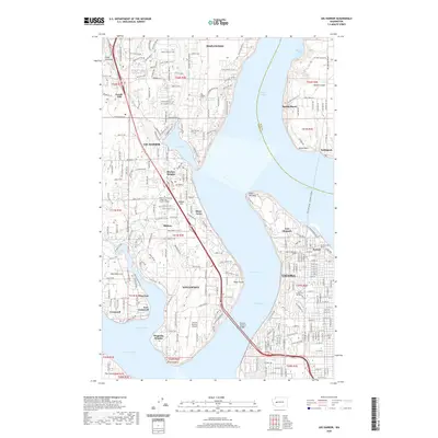
2020 Map of Gig Harbor
USGS Topo · Published 2020About this map
Gig Harbor and the western edge of Tacoma are separated by the deep waters of the Narrows, linked by the iconic Tacoma Narrows Bridge. This coastal landscape is defined by its maritime infrastructure and historical sites, including Fort Nisqually located within Point Defiance. The map details the transition from the industrial heritage of the Asarco Smelter Tunnel in Ruston to the residential and maritime communities of the Great Peninsula, such as Harbor Heights and Magnolia Heights.
Find a feature on this map
48 named features on this map. Tap any name to fly to it.
Don’t see what you’re looking for? This feature index may not catch every label — zoom into the map to look around manually.
Map Details
Editions of this 2020 Gig Harbor Map
This is the sole edition of this map. No revisions or reprints were ever made.
Other maps of this area

1897 · Tacoma
USGS Topo · 1:125,000

1900 · Tacoma
USGS Topo · 1:125,000

1940 · Anderson Island
USGS Topo · 1:62,500

1941 · Tacoma South
USGS Topo · 1:62,500

1942 · Gig Harbor
USGS Topo · 1:62,500

1943 · Gig Harbor
USGS Topo · 1:62,500

1944 · Tacoma South
USGS Topo · 1:62,500

1948 · Anderson Island
USGS Topo · 1:62,500

1948 · Anderson Island
USGS Topo · 1:24,000

1948 · Steilacoom
USGS Topo · 1:24,000