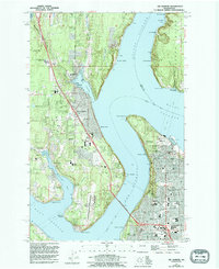
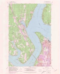
1959 Map of Gig Harbor
USGS Topo · Published 1995About this map
Colvos Passage and The Narrows define this maritime landscape, where the Tacoma Narrows Bridge links the mainland to the Kitsap Peninsula. The settlement of Gig Harbor serves as a focal point, characterized by its protected harbor and established residential districts like Harbor Heights and Shore Acres. On the eastern shore, Tacoma shows a dense urban grid, including residential neighborhoods near Ruston and the grounds of Point Defiance, home to the Aquarium and the replica of Port Niequally. The map reveals a transition from these urban centers to the more rural character of Fox Island and the wooded tracts near Winchester Swamp. Local institutions are well-documented, from the Washington Correction Center for Women and Tacoma Narrows Airport to numerous neighborhood schools like Wilson High Sch and Discovery Sch.
Find a feature on this map
69 named features on this map. Tap any name to fly to it.
Don’t see what you’re looking for? This feature index may not catch every label — zoom into the map to look around manually.
Map Details
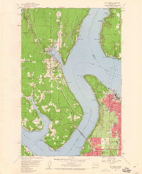
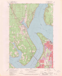
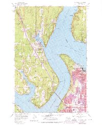
Editions of this 1959 Gig Harbor Map
5 editions found
Other maps of this area

1897 · Tacoma
USGS Topo · 1:125,000

1900 · Tacoma
USGS Topo · 1:125,000

1940 · Anderson Island
USGS Topo · 1:62,500

1941 · Tacoma South
USGS Topo · 1:62,500

1942 · Gig Harbor
USGS Topo · 1:62,500

1943 · Gig Harbor
USGS Topo · 1:62,500

1944 · Tacoma South
USGS Topo · 1:62,500

1948 · Anderson Island
USGS Topo · 1:62,500

1948 · Anderson Island
USGS Topo · 1:24,000

1948 · Steilacoom
USGS Topo · 1:24,000