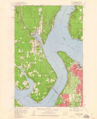
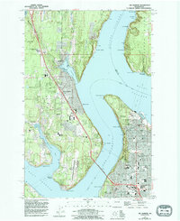
1959 Map of Gig Harbor
USGS Topo · Published 1960About this map
Gig Harbor sits at the heart of this maritime landscape, where the town's namesake inlet provides a protected anchorage just north of the Tacoma Narrows Bridge. The 1959 culture revision reveals a period of significant coastal development and institutional growth. On the eastern shore, Tacoma and Ruston show a dense urban grid, dominated by industrial landmarks like the Tacoma Smelter and the Tacoma Yacht Club. This shoreline is contrasted by the wooded slopes of Point Defiance Park, which contains a Lighthouse, an Aquarium, and the Fort Nisqually (Restoration). Across Colvos Passage, the southern tip of Vashon Island features the Camp Sealth grounds and the ferry landing at Tahlequah. Further south, the landscape is defined by the intricate peninsulas surrounding Wollochet Bay, connecting localized settlements like Cromwell and Magnolia Heights to the larger sounds.
Find a feature on this map
63 named features on this map. Tap any name to fly to it.
Don’t see what you’re looking for? This feature index may not catch every label — zoom into the map to look around manually.
Map Details
Editions of this 1959 Gig Harbor Map
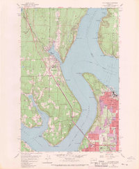
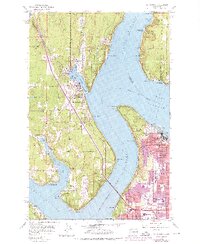
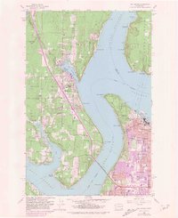
5 editions found
Other maps of this area

1897 · Tacoma
USGS Topo · 1:125,000

1900 · Tacoma
USGS Topo · 1:125,000

1940 · Anderson Island
USGS Topo · 1:62,500

1941 · Tacoma South
USGS Topo · 1:62,500

1942 · Gig Harbor
USGS Topo · 1:62,500

1943 · Gig Harbor
USGS Topo · 1:62,500

1944 · Tacoma South
USGS Topo · 1:62,500

1948 · Anderson Island
USGS Topo · 1:62,500

1948 · Anderson Island
USGS Topo · 1:24,000

1948 · Steilacoom
USGS Topo · 1:24,000