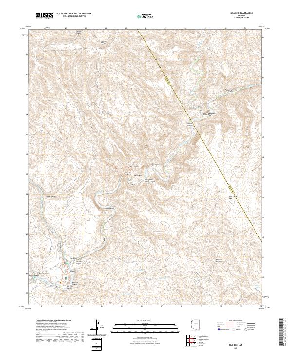
2021 Map of Gila Box
USGS Topo · Published 2021About this map
The Gila River carves a complex path through this corner of Graham County, defining a landscape dominated by dramatic relief and remote waterways. At the center of this terrain lies the Gila Box, where the river meets the mouth of Bonita Cr and passes near the curiously named Rail End. To the south and east, the Peloncillo Mountains rise sharply, punctuated by a series of high-altitude water sources including Coyote Tank and Corner Tank.
Find a feature on this map
36 named features on this map. Tap any name to fly to it.
Don’t see what you’re looking for? This feature index may not catch every label — zoom into the map to look around manually.
Map Details
Editions of this 2021 Gila Box Map
This is the sole edition of this map. No revisions or reprints were ever made.
Other maps of this area

1902 · Clifton
USGS Topo · 1:62,500

1913 · Morenci
USGS Topo · 1:125,000

1915 · Morenci
USGS Topo · 1:125,000

1954 · Silver City
USGS Topo · 1:250,000

1954 · Clifton
USGS Topo · 1:250,000

1957 · Clifton
USGS Topo · 1:250,000

1958 · Silver City
USGS Topo · 1:250,000

1958 · Clifton
USGS Topo · 1:250,000

1960 · Guthrie
USGS Topo · 1:62,500

1960 · Safford
USGS Topo · 1:62,500