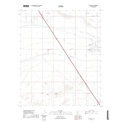
2018 Map of Gila Butte SE
USGS Topo · Published 2018About this map
Sacaton serves as a primary settlement hub in this desert landscape, situated near the northern banks of the Gila River. The region's agricultural foundations are evident through an extensive network of irrigation infrastructure, including the Little Gila Canal, Casa Blanca Canal, and Southside Canal Rd. To the south, the terrain shifts from the managed valley floor to the prominent peaks of the Sacaton Mountains, where the locality of Burns is situated. This 2018 survey reveals a landscape defined by the intersection of tribal lands and modern infrastructure, where established routes like Indian Rte 1 and Gasline Rd traverse a grid of township boundaries and farm-to-market roads like Seed Farm Rd.
Find a feature on this map
32 named features on this map. Tap any name to fly to it.
Don’t see what you’re looking for? This feature index may not catch every label — zoom into the map to look around manually.
Map Details
Editions of this 2018 Gila Butte SE Map
This is the sole edition of this map. No revisions or reprints were ever made.
Other maps of this area
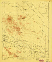
1907 · Sacaton
USGS Topo · 1:62,500
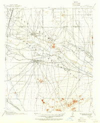
1914 · Gila Butte
USGS Topo · 1:62,500
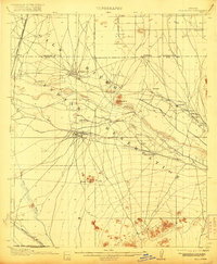
1917 · Gila Butte
USGS Topo · 1:62,500
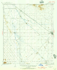
1922 · Casa Grande
USGS Topo · 1:62,500
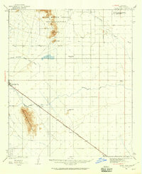
1922 · Signal Peak
USGS Topo · 1:62,500
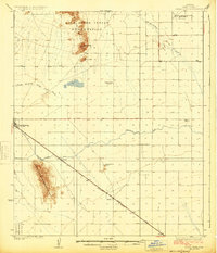
1924 · Signal Peak
USGS Topo · 1:62,500
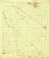
1924 · Casa Grande
USGS Topo · 1:62,500
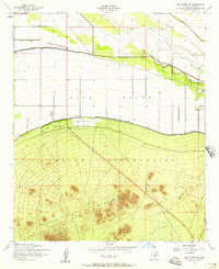
1952 · Gila Butte SE
USGS Topo · 1:24,000
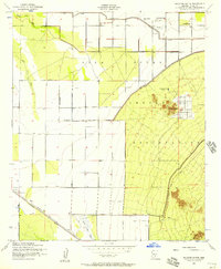
1952 · Sacaton Butte
USGS Topo · 1:24,000
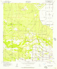
1952 · Gila Butte NW
USGS Topo · 1:24,000