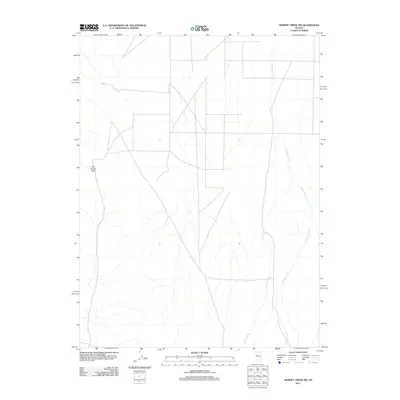
2011 Map of Gilbert Creek NW
USGS Topo · Published 2011About this map
Cain Spring Pass marks a prominent transit point through the high desert terrain of Churchill County in this 2011 survey. The landscape is defined by the ephemeral drainages of Gilbert Creek and Antelope Creek, which course through the quadrangle. As a modern topographic record, the map details a sparse network of roads and trails that navigate the arid topography. The relationship between the upland pass and the creek beds below illustrates the traditional routes of travel in this part of Nevada, where water features dictate the placement of local infrastructure and pathfinding.
Find a feature on this map
3 named features on this map. Tap any name to fly to it.
Don’t see what you’re looking for? This feature index may not catch every label — zoom into the map to look around manually.
Map Details
Editions of this 2011 Gilbert Creek NW Map
This is the sole edition of this map. No revisions or reprints were ever made.
Other maps of this area

1932 · Sonoma Range
USGS Topo · 1:250,000

1939 · Sonoma Range
USGS Topo · 1:250,000

1955 · Millett
USGS Topo · 1:250,000

1955 · Winnemucca
USGS Topo · 1:250,000

1958 · Winnemucca
USGS Topo · 1:250,000

1959 · Millett
USGS Topo · 1:250,000

1961 · Cain Mountain
USGS Topo · 1:62,500

1961 · Mt. Moses
USGS Topo · 1:62,500

1962 · Winnemucca
USGS Topo · 1:250,000

1966 · Shoshone Meadows
USGS Topo · 1:62,500