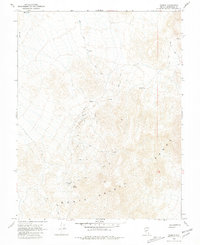
1968 Map of Gilbert
USGS Topo · Published 1981About this map
The Monte Cristo Range dominates this late-1960s landscape, where mining activity and scattered water sources define the local geography of Esmeralda County. The settlement of Gilbert sits at the heart of the quadrangle, surrounded by several prospects and the survey marker Usmm 311. This area reflects the typical high-desert mining patterns of Nevada, where small-scale extraction and milling operations were historically tied to sparse water points like Cook Spring and various other springs or a single well.
Find a feature on this map
13 named features on this map. Tap any name to fly to it.
Don’t see what you’re looking for? This feature index may not catch every label — zoom into the map to look around manually.
Map Details
Editions of this 1968 Gilbert Map
2 editions found
Other maps of this area

1907 · Tonopah
USGS Topo · 1:250,000

1908 · Tonopah
USGS Topo · 1:250,000

1956 · Tonopah
USGS Topo · 1:250,000

1959 · Tonopah
USGS Topo · 1:250,000

1962 · Tonopah
USGS Topo · 1:250,000
1968 · Crow Springs
USGS Topo · 1:24,000
1968 · Coaldale NE
USGS Topo · 1:24,000
1968 · Blair Junction
USGS Topo · 1:24,000
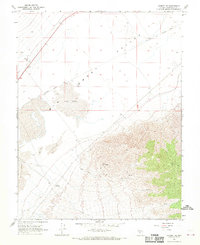
1968 · Gilbert SE
USGS Topo · 1:24,000
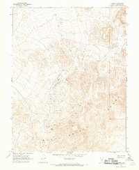
1968 · Gilbert
USGS Topo · 1:24,000