
1944 Map of Gilbert
USGS Topo · Published 1946About this map
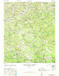
Gilbert and Summit anchor this mid-1940s landscape, serving as key points along the Southern Railway as it traverses central South Carolina. The region is defined by a dense network of water-powered industry and community hubs, with numerous small millponds like Saxe-Gotha Millpond, Hallman Millpond, and Lucas Millpond dotting the drainages of Twelvemile Creek. The map documents a rural society built around local institutions, including the Cedar Grove Sch and Nazareth Ch, alongside prominent terrain features such as Devils Backbone.
Find a feature on this map
132 named features on this map. Tap any name to fly to it.
Don’t see what you’re looking for? This feature index may not catch every label — zoom into the map to look around manually.
Map Details
Editions of this 1944 Gilbert Map
2 editions found
Other maps of this area

1904 · Columbia
USGS Topo · 1:125,000

1920 · Aiken
USGS Topo · 1:48,000

1921 · Aiken
USGS Topo · 1:62,500

1941 · Spartanburg
USGS Topo · 1:250,000

1943 · Aiken
USGS Topo · 1:62,500

1944 · Seivern
USGS Topo · 1:62,500

1944 · Edmund
USGS Topo · 1:62,500

1946 · Woodford
USGS Topo · 1:62,500

1946 · Irmo
USGS Topo · 1:24,000

1948 · Irmo
USGS Topo · 1:24,000