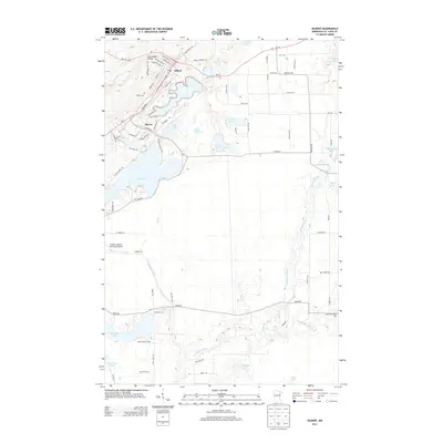
2013 Map of Gilbert
USGS Topo · Published 2013About this map
The Laurentian Divide passes through this Mesabi Range landscape, where the waters of the Saint Louis River and Embarrass River systems define the drainage. The settlement of Gilbert sits at the northern edge, characterized by a residential grid of streets like Dakota Ave W and Minnesota Ave W that terminates abruptly at the Mining Company Rd. This layout reflects the area's deep ties to the regional iron mining industry, with the town footprint squeezed between natural elevation changes and industrial infrastructure.
Find a feature on this map
79 named features on this map. Tap any name to fly to it.
Don’t see what you’re looking for? This feature index may not catch every label — zoom into the map to look around manually.
Map Details
Editions of this 2013 Gilbert Map
This is the sole edition of this map. No revisions or reprints were ever made.
Other maps of this area
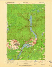
1950 · Biwabik
USGS Topo · 1:24,000
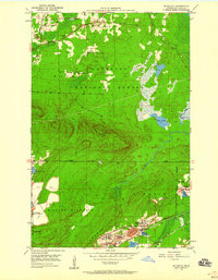
1950 · Mc Kinley
USGS Topo · 1:24,000
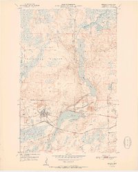
1951 · Biwabik
USGS Topo · 1:24,000
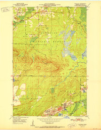
1951 · Mc Kinley
USGS Topo · 1:24,000
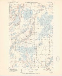
1951 · Palo
USGS Topo · 1:24,000
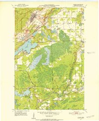
1951 · Gilbert
USGS Topo · 1:24,000
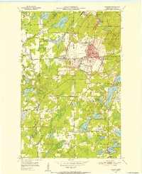
1951 · Eveleth
USGS Topo · 1:24,000
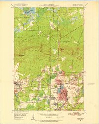
1951 · Virginia
USGS Topo · 1:24,000
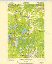
1951 · Central Lakes
USGS Topo · 1:24,000
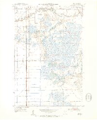
1951 · Zim
USGS Topo · 1:24,000