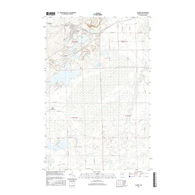
2016 Map of Gilbert
USGS Topo · Published 2016About this map
The Laurentian Divide passes through the northern reaches of this Iron Range landscape, separating the watersheds of the Saint Lawrence and Hudson Bay. The town of Gilbert serves as a focal point, established amidst a complex network of industrial infrastructure and residential streets including Michigan Ave W and Kansas Ave. To the west, the settlement of Sparta and the Eveleth- Virginia Municipal Airport mark the transition toward larger regional centers.
Find a feature on this map
85 named features on this map. Tap any name to fly to it.
Don’t see what you’re looking for? This feature index may not catch every label — zoom into the map to look around manually.
Map Details
Editions of this 2016 Gilbert Map
This is the sole edition of this map. No revisions or reprints were ever made.
Other maps of this area
1950 · Biwabik
USGS Topo · 1:24,000
1950 · Mc Kinley
USGS Topo · 1:24,000
1951 · Biwabik
USGS Topo · 1:24,000
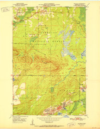
1951 · Mc Kinley
USGS Topo · 1:24,000
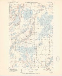
1951 · Palo
USGS Topo · 1:24,000
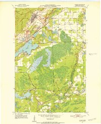
1951 · Gilbert
USGS Topo · 1:24,000
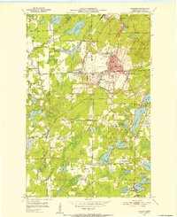
1951 · Eveleth
USGS Topo · 1:24,000
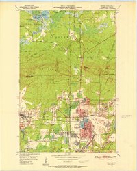
1951 · Virginia
USGS Topo · 1:24,000
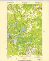
1951 · Central Lakes
USGS Topo · 1:24,000
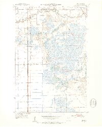
1951 · Zim
USGS Topo · 1:24,000