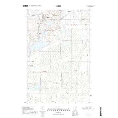
2019 Map of Gilbert
USGS Topo · Published 2019About this map
The Laurentian Divide crosses the northern portion of this Iron Range landscape, marking the continental separation between the Arctic and Atlantic watersheds. In the northern sections, the concentrated street grids of Virginia and Gilbert illustrate the region's dense urban development tied to its mining legacy, while smaller communities like Sparta and McKinley are connected by the recreational Mesabi Trl. The southern half of the map transitions into a landscape dominated by wetlands and water, defined by the winding course of the Saint Louis River and its confluence with the Embarrass River. Significant water bodies such as Ely Lake and Pleasant Lake are prominent, alongside the Eveleth-Virginia Municipal Airport and the Gilbert Cem. This survey provides a clear view of how civil infrastructure and industrial history sit alongside the complex hydrology of northeastern Minnesota.
Find a feature on this map
81 named features on this map. Tap any name to fly to it.
Don’t see what you’re looking for? This feature index may not catch every label — zoom into the map to look around manually.
Map Details
Editions of this 2019 Gilbert Map
This is the sole edition of this map. No revisions or reprints were ever made.
Other maps of this area
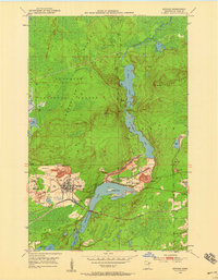
1950 · Biwabik
USGS Topo · 1:24,000
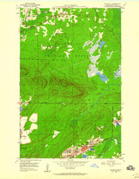
1950 · Mc Kinley
USGS Topo · 1:24,000
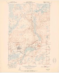
1951 · Biwabik
USGS Topo · 1:24,000
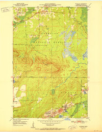
1951 · Mc Kinley
USGS Topo · 1:24,000
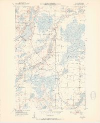
1951 · Palo
USGS Topo · 1:24,000
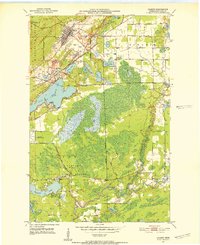
1951 · Gilbert
USGS Topo · 1:24,000
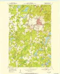
1951 · Eveleth
USGS Topo · 1:24,000
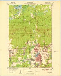
1951 · Virginia
USGS Topo · 1:24,000
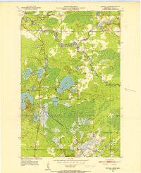
1951 · Central Lakes
USGS Topo · 1:24,000
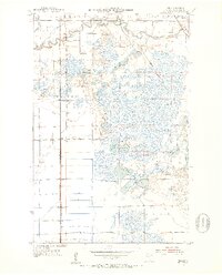
1951 · Zim
USGS Topo · 1:24,000