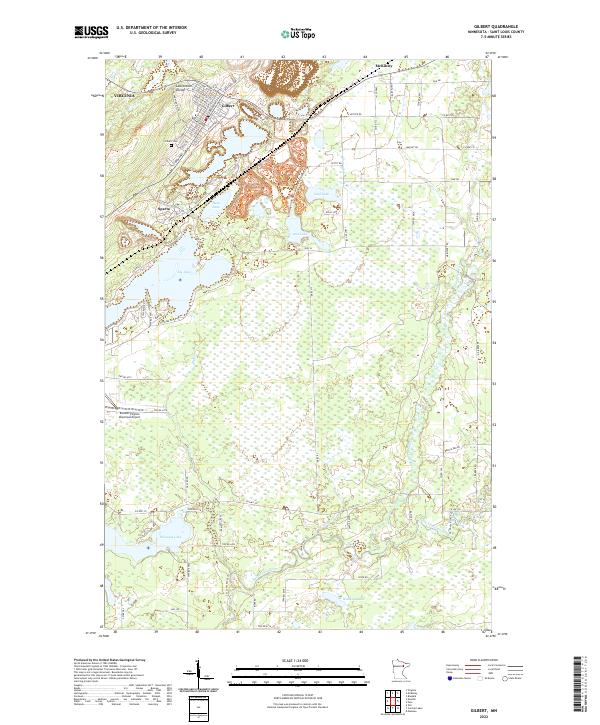
2022 Map of Gilbert
USGS Topo · Published 2022About this map
The Laurentian Divide cuts through the northern section of this Mesabi Range landscape, marking the hydrological split between the Great Lakes and Hudson Bay watersheds. Below this ridge, the city of Gilbert and the settlements of Sparta and McKinley are surrounded by a complex industrial and recreational terrain. The Iron Range OHV Recreation Area occupies a large expanse of reworked earth, reflecting the region's deep mining heritage through its current use for off-road trails like the Gilbert Trl.
Find a feature on this map
123 named features on this map. Tap any name to fly to it.
Don’t see what you’re looking for? This feature index may not catch every label — zoom into the map to look around manually.
Map Details
Editions of this 2022 Gilbert Map
This is the sole edition of this map. No revisions or reprints were ever made.
Other maps of this area

1950 · Biwabik
USGS Topo · 1:24,000

1950 · Mc Kinley
USGS Topo · 1:24,000

1951 · Biwabik
USGS Topo · 1:24,000

1951 · Mc Kinley
USGS Topo · 1:24,000

1951 · Palo
USGS Topo · 1:24,000

1951 · Gilbert
USGS Topo · 1:24,000

1951 · Eveleth
USGS Topo · 1:24,000

1951 · Virginia
USGS Topo · 1:24,000

1951 · Central Lakes
USGS Topo · 1:24,000

1951 · Zim
USGS Topo · 1:24,000