
1969 Map of Gildford NW
USGS Topo · Published 1972About this map
The northern plains of Hill County, Montana, reveal a landscape defined by drainage patterns and seasonal water management in the late 1960s. The meandering course of Little Sage Creek dominates the northeastern sector, cutting through the high prairie before reaching the Burkhartsmeyer Reservoir, a vital local resource for managing runoff in this arid environment. Significant topographic relief is provided by deeply etched coulees, most notably Big Coulee and O'Brien Coulee, which serve as natural landmarks across the township lines. This survey, conducted as part of the Missouri River Basin development program, captures the rural character of the region where livestock grazing and dryland farming relied on the subtle hydrology of ephemeral streams like Tootsie Creek. The map provides researchers and genealogists with a precise view of the land's contours and property line fences during a period of agricultural stability in the Big Sky Country.
Find a feature on this map
5 named features on this map. Tap any name to fly to it.
Don’t see what you’re looking for? This feature index may not catch every label — zoom into the map to look around manually.
Map Details
Editions of this 1969 Gildford NW Map
This is the sole edition of this map. No revisions or reprints were ever made.
Other maps of this area

1919 · Alma
USGS Topo · 1:125,000

1920 · Gildford
USGS Topo · 1:125,000

1943 · Gildford
USGS Topo · 1:125,000

1954 · Shelby
USGS Topo · 1:250,000

1958 · Shelby
USGS Topo · 1:250,000

1969 · Gildford NE
USGS Topo · 1:24,000

1969 · Hingham
USGS Topo · 1:24,000
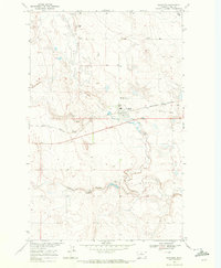
1969 · Gildford
USGS Topo · 1:24,000
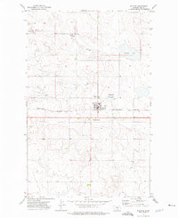
1972 · Rudyard
USGS Topo · 1:24,000

1972 · Mc Kinnsey Reservoir East
USGS Topo · 1:24,000