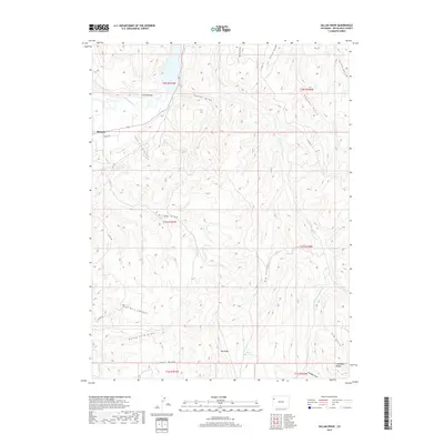
2019 Map of Gillam Draw
USGS Topo · Published 2019About this map
The White River winds through the northern reaches of this Rio Blanco County landscape, just east of the established town of Rangely. This territory is defined by a complex network of dry drainage systems and elevated plateaus, including the Coal Oil Rim and Taylor Draw. The topography transitions from the river valley into a series of deeply etched canyons and ridges, most notably the Gillam Draw and Little Gillam Draw, which dominate the central portion of the map.
Find a feature on this map
31 named features on this map. Tap any name to fly to it.
Don’t see what you’re looking for? This feature index may not catch every label — zoom into the map to look around manually.
Map Details
Editions of this 2019 Gillam Draw Map
This is the sole edition of this map. No revisions or reprints were ever made.
Other maps of this area
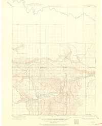
1907 · Rangely
USGS Topo · 1:125,000
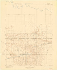
1910 · Rangely
USGS Topo · 1:125,000
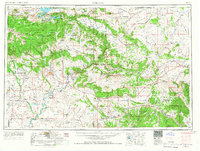
1954 · Vernal
USGS Topo · 1:250,000
1956 · Grand Junction
USGS Topo · 1:250,000
1958 · Vernal
USGS Topo · 1:250,000
1959 · Grand Junction
USGS Topo · 1:250,000
1960 · Vernal
USGS Topo · 1:250,000
1960 · Grand Junction
USGS Topo · 1:250,000
1962 · Grand Junction
USGS Topo · 1:250,000
1962 · Rangely NE
USGS Topo · 1:24,000