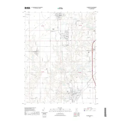
2018 Map of Gillespie South
USGS Topo · Published 2018About this map
Cahokia Creek and its many tributaries, including Bear Creek and Sugar Camp Creek, carve through this section of Macoupin County, defining the landscape between several closely spaced industrial and residential centers. The map documents a dense network of small municipalities such as Staunton, Gillespie, Benld, and Sawyerville, reflecting the region's historical reliance on coal and rail transport. Evidence of this industrial heritage is found at Mine Number 7 and its associated Mine Number 7 Reservoir near the eastern border. Genealogists will find a high concentration of burial sites, from the large Gillespie City Cemetery to the denominationally specific Holy Assumption Russian Orthodox Creek Cemetery and the more isolated Funderburk Cemetery in the southwest. Transport infrastructure is represented by the Willhoit Airport and numerous local routes like Wilsonville Road and Adams School Road.
Find a feature on this map
168 named features on this map. Tap any name to fly to it.
Don’t see what you’re looking for? This feature index may not catch every label — zoom into the map to look around manually.
Map Details
Editions of this 2018 Gillespie South Map
This is the sole edition of this map. No revisions or reprints were ever made.
Other maps of this area

1912 · Gillespie
USGS Topo · 1:62,500

1915 · Gillespie
USGS Topo · 1:62,500

1915 · Mount Olive
USGS Topo · 1:62,500

1927 · Edwardsville
USGS Topo · 1:62,500

1932 · Edwardsville
USGS Topo · 1:62,500

1937 · New Douglas
USGS Topo · 1:48,000

1944 · New Douglas
USGS Topo · 1:62,500

1944 · Mount Olive
USGS Topo · 1:62,500

1954 · Worden
USGS Topo · 1:24,000
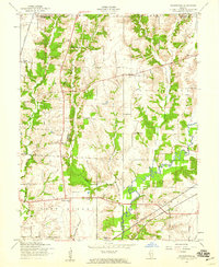
1954 · Prairietown
USGS Topo · 1:24,000