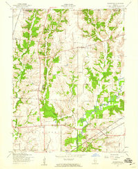
1954 Map of Prairietown
USGS Topo · Published 1959About this map
Prairietown serves as a central hub for this rural landscape where the northern edge of Madison County meets Macoupin County. The terrain is defined by the winding course of Cahokia Creek and its tributaries, including Sherry Creek and Paddock Creek, which carve through the agricultural fields of Omphghent and Moro townships. This mid-century survey reveals a dense network of one-room schoolhouses and country churches that anchored these farming communities before many were consolidated. Genealogists will find significant value in the location of the Liberty Prairie Cem and St Johns Ch, alongside specialized landmarks like the Pumping Sta and the Midway settlement. The transit infrastructure is equally prominent, with the New York Central and Wabash lines cutting through the southern townships near Carpenter.
Find a feature on this map
27 named features on this map. Tap any name to fly to it.
Don’t see what you’re looking for? This feature index may not catch every label — zoom into the map to look around manually.
Map Details
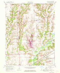
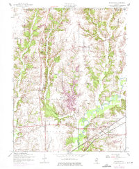
Editions of this 1954 Prairietown Map
3 editions found
Other maps of this area

1912 · Gillespie
USGS Topo · 1:62,500

1915 · Gillespie
USGS Topo · 1:62,500

1925 · Brighton
USGS Topo · 1:62,500

1927 · Alton
USGS Topo · 1:62,500

1927 · Edwardsville
USGS Topo · 1:62,500

1928 · Brighton
USGS Topo · 1:62,500

1932 · Edwardsville
USGS Topo · 1:62,500

1934 · Alton
USGS Topo · 1:62,500

1948 · Quincy
USGS Topo · 1:250,000

1948 · Wood River
USGS Topo · 1:24,000