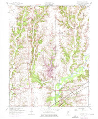
1954 Map of Prairietown
USGS Topo · Published 1975About this map
Prairietown and its surrounding townships define this rural Madison County landscape during a period of transition in the mid-20th century. The drainage patterns of Cahokia Creek and its tributaries, such as Sherry Creek and Burroughs Branch, dictate the layout of the land, which is dotted with traditional country landmarks like the Yorkville Sch and Omphghent Sch. Settlement patterns range from established locales like Dorsey to the residential development at Holiday Shores, which appears here as a modern addition to the more established farming community.
Find a feature on this map
25 named features on this map. Tap any name to fly to it.
Don’t see what you’re looking for? This feature index may not catch every label — zoom into the map to look around manually.
Map Details
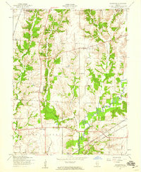
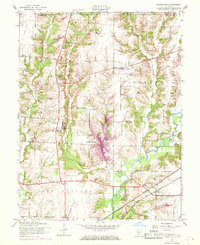
Editions of this 1954 Prairietown Map
3 editions found
Other maps of this area

1912 · Gillespie
USGS Topo · 1:62,500

1915 · Gillespie
USGS Topo · 1:62,500

1925 · Brighton
USGS Topo · 1:62,500

1927 · Alton
USGS Topo · 1:62,500

1927 · Edwardsville
USGS Topo · 1:62,500

1928 · Brighton
USGS Topo · 1:62,500

1932 · Edwardsville
USGS Topo · 1:62,500

1934 · Alton
USGS Topo · 1:62,500

1948 · Quincy
USGS Topo · 1:250,000

1948 · Wood River
USGS Topo · 1:24,000