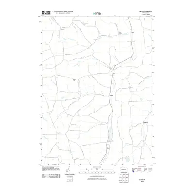
2010 Map of Gillett
USGS Topo · Published 2010About this map
Gillett and the surrounding townships of Bradford County are defined by a network of rural hamlets and deep-cut hollows along the North Branch Sugar Creek. This 2010 survey illustrates a landscape where agricultural life and small settlements like Snedekerville and Fassett are connected by a dense web of local roads, such as Mott Town Rd and Roaring Run Rd. The terrain is marked by significant elevations, including Doty Hill and Thompson Hill, which overlook narrow valleys like Smut Hollow and Blodgett Hollow.
Find a feature on this map
75 named features on this map. Tap any name to fly to it.
Don’t see what you’re looking for? This feature index may not catch every label — zoom into the map to look around manually.
Map Details
Editions of this 2010 Gillett Map
This is the sole edition of this map. No revisions or reprints were ever made.
Other maps of this area

1895 · Elmira
USGS Topo · 1:62,500

1902 · Waverly
USGS Topo · 1:62,500

1905 · Watkins Glen
USGS Topo · 1:125,000

1931 · Troy
USGS Topo · 1:48,000

1938 · Troy
USGS Topo · 1:62,500

1939 · Sayre
USGS Topo · 1:62,500

1942 · Sayre
USGS Topo · 1:62,500

1948 · Sayre
USGS Topo · 1:62,500

1950 · Elmira
USGS Topo · 1:250,000

1953 · Roseville
USGS Topo · 1:24,000
Featured Places
- Springfield Township, PA
- Columbia Township, PA
- South Creek Township, PA
- Waterloo, Wells Township
- Ridgebury Township, PA