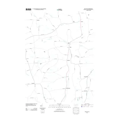
2013 Map of Gillett
USGS Topo · Published 2013About this map
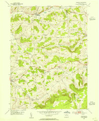
Gillett and the surrounding townships of Bradford County are defined by a network of hollows and ridges that shaped early rural settlement patterns in northern Pennsylvania. The landscape is characterized by prominent elevations such as Baker Hill and Rowley Hill, with small communities like Fassett and Dunning clustered along the north-south transit corridors. This topographical arrangement created distinct, self-contained valley pockets, evident in the naming of Smut Hollow and Blodgett Hollow.
Find a feature on this map
98 named features on this map. Tap any name to fly to it.
Don’t see what you’re looking for? This feature index may not catch every label — zoom into the map to look around manually.
Map Details
Editions of this 2013 Gillett Map
This is the sole edition of this map. No revisions or reprints were ever made.
Other maps of this area
1895 · Elmira
USGS Topo · 1:62,500
1902 · Waverly
USGS Topo · 1:62,500

1905 · Watkins Glen
USGS Topo · 1:125,000
1931 · Troy
USGS Topo · 1:48,000
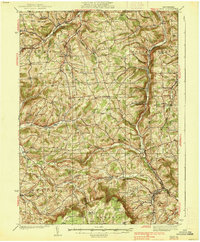
1938 · Troy
USGS Topo · 1:62,500
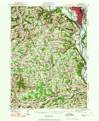
1939 · Sayre
USGS Topo · 1:62,500
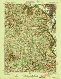
1942 · Sayre
USGS Topo · 1:62,500
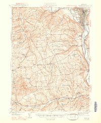
1948 · Sayre
USGS Topo · 1:62,500

1950 · Elmira
USGS Topo · 1:250,000
1953 · Roseville
USGS Topo · 1:24,000
Featured Places
- Springfield Township, PA
- Columbia Township, PA
- South Creek Township, PA
- Waterloo, Wells Township
- Ridgebury Township, PA