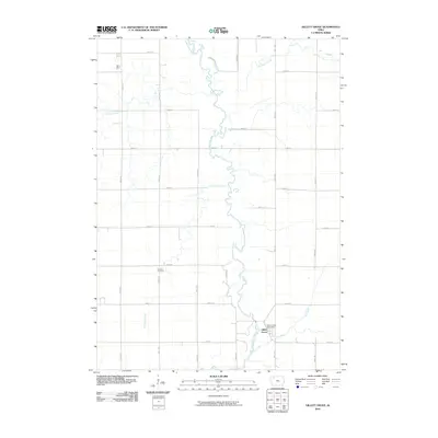
2010 Map of Gillett Grove
USGS Topo · Published 2010About this map
Gillett Grove serves as the central hub of this northern Iowa landscape, situated near the convergence of the Little Sioux River and Elk Creek. The town is the site of the local Gillett Grove Post Office, while the surrounding rural landscape is defined by a strict section-line road grid, including 280th Ave and 430th St. To the northwest, Rosehill Cemetery marks a quiet landmark above the river valley. The drainage patterns of the region are clearly defined, showing the winding course of the Little Sioux as it receives water from Lexington Creek, Prairie Creek, and the Lost Island Outlet. This 2010 survey illustrates the enduring agricultural character of Clay County, where the relationship between the meandering river system and the organized township layout remains the primary geographical feature.
Find a feature on this map
25 named features on this map. Tap any name to fly to it.
Don’t see what you’re looking for? This feature index may not catch every label — zoom into the map to look around manually.
Map Details
Editions of this 2010 Gillett Grove Map
This is the sole edition of this map. No revisions or reprints were ever made.
Other maps of this area

1954 · Fairmont
USGS Topo · 1:250,000

1954 · Fort Dodge
USGS Topo · 1:250,000

1957 · Fort Dodge
USGS Topo · 1:250,000

1958 · Fort Dodge
USGS Topo · 1:250,000

1958 · Fairmont
USGS Topo · 1:250,000

1966 · Spencer
USGS Topo · 1:24,000

1966 · Gillett Grove
USGS Topo · 1:24,000

1966 · Greenville
USGS Topo · 1:24,000

1966 · Dickens
USGS Topo · 1:24,000

1971 · Sioux Rapids
USGS Topo · 1:24,000