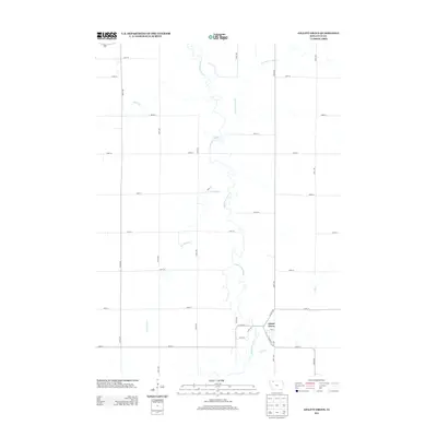
2013 Map of Gillett Grove
USGS Topo · Published 2013About this map
Gillett Grove sits as the central settlement in this portion of Clay County, positioned along the meandering path of the Little Sioux River. The township's landscape is defined by the drainage patterns of several tributaries, including Lexington Cr and Elk Cr, which flow through a grid of agricultural section roads. The local infrastructure of this rural corridor is anchored by the junction of Co Hwy-B53 and Co Hwy-M54, while remnants of the area's transportation history are preserved in street names like Railway St within the town site. Further north, the Lost Island Outlet and Prairie Cr traverse the open countryside, illustrating the complex hydrology that historically dictated the placement of farms and early homesteads across these Iowa prairies.
Find a feature on this map
30 named features on this map. Tap any name to fly to it.
Don’t see what you’re looking for? This feature index may not catch every label — zoom into the map to look around manually.
Map Details
Editions of this 2013 Gillett Grove Map
This is the sole edition of this map. No revisions or reprints were ever made.
Other maps of this area

1954 · Fairmont
USGS Topo · 1:250,000

1954 · Fort Dodge
USGS Topo · 1:250,000

1957 · Fort Dodge
USGS Topo · 1:250,000

1958 · Fort Dodge
USGS Topo · 1:250,000

1958 · Fairmont
USGS Topo · 1:250,000

1966 · Spencer
USGS Topo · 1:24,000

1966 · Gillett Grove
USGS Topo · 1:24,000

1966 · Greenville
USGS Topo · 1:24,000

1966 · Dickens
USGS Topo · 1:24,000

1971 · Sioux Rapids
USGS Topo · 1:24,000