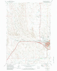
1971 Map of Gillette West
USGS Topo · Published 1983About this map
Gillette appears as a growing energy and transportation hub in this early 1970s survey. The landscape is defined by the intersection of industrial development and civic infrastructure, with the Burlington Northern railroad cutting a prominent path across the terrain near Stonepile Creek. Significant infrastructure serves the local community, including the County Fairground, Hosp (Hospital), and the Jr High Sch (Junior High School) within the town site.
Find a feature on this map
29 named features on this map. Tap any name to fly to it.
Don’t see what you’re looking for? This feature index may not catch every label — zoom into the map to look around manually.
Map Details
Editions of this 1971 Gillette West Map
2 editions found
Other maps of this area

1954 · Gillette
USGS Topo · 1:250,000

1955 · Gillette
USGS Topo · 1:250,000

1958 · Gillette
USGS Topo · 1:250,000

1962 · Gillette
USGS Topo · 1:250,000

1971 · Gillette East
USGS Topo · 1:24,000

1971 · Oriva NW
USGS Topo · 1:24,000

1971 · Oriva
USGS Topo · 1:24,000
1971 · The Gap
USGS Topo · 1:24,000
1971 · Appel Butte
USGS Topo · 1:24,000
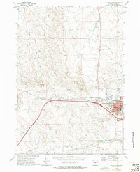
1971 · Gillette West
USGS Topo · 1:24,000