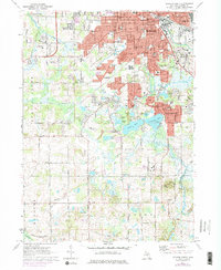
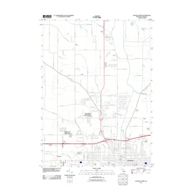
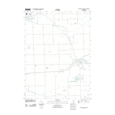
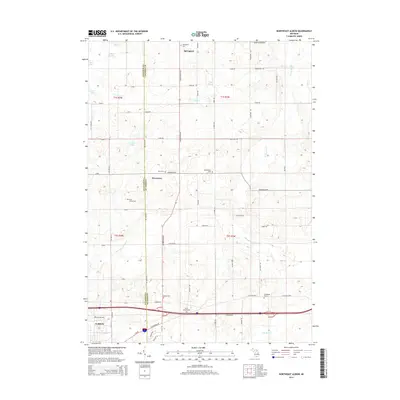
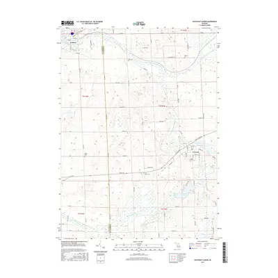
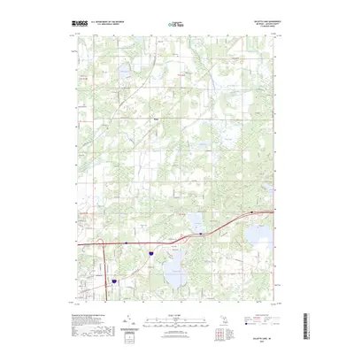
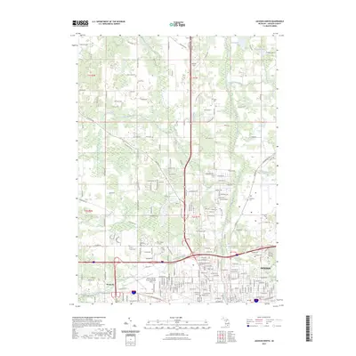
1970 Map of Gilletts Lake
USGS Topo · Published 1973About this map
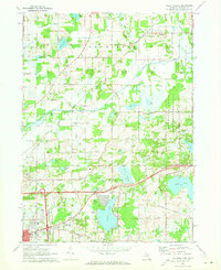
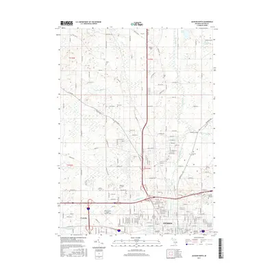
The State Prison Farm dominates the central landscape of this 1970 survey, indicating a significant institutional presence north of Leoni. This area east of Jackson is defined by a dense network of glacial water bodies, from the prominent Gilletts Lake and Goose Lake to smaller features like O'Leary Pond and Malay Lake. The Grand Trunk Western railroad cuts across the northern terrain, serving historic points such as Henrietta Station.
Find a feature on this map
51 named features on this map. Tap any name to fly to it.
Don’t see what you’re looking for? This feature index may not catch every label — zoom into the map to look around manually.
Map Details
Editions of this 1970 Gilletts Lake Map
2 editions found
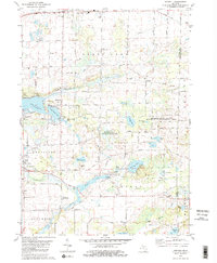
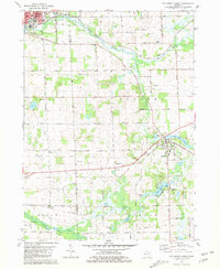
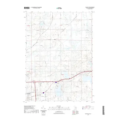
Historical Maps of Jackson Through Time
38 maps found

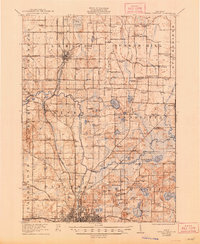
1919 Rives Junction
Jackson County, MI
1921 Rives Junction
Jackson County, MI
1970 Gilletts Lake
Jackson County, MI
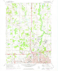
1970 Jackson North
Jackson County, MI
1971 Jackson South
Jackson County, MI
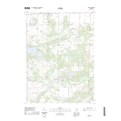
1980 Norvell
Jackson County, MI

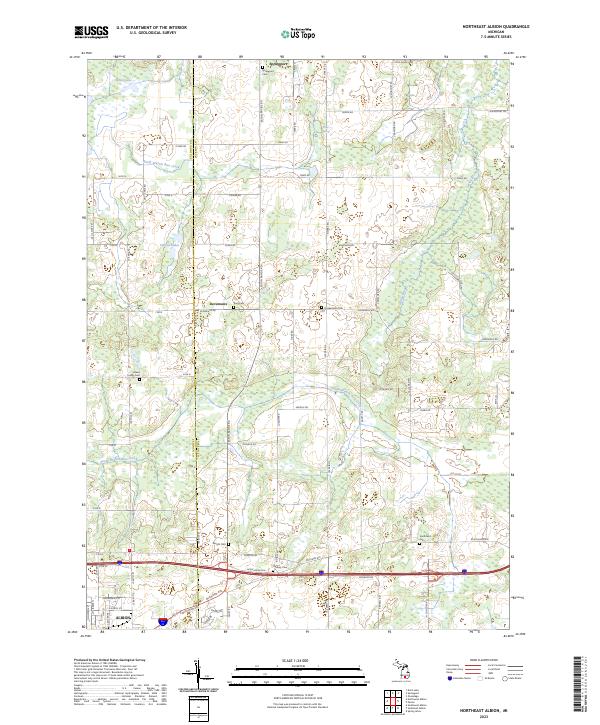
1981 Northeast Albion
Jackson County, MI
1981 Southeast Albion
Jackson County, MI
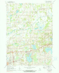
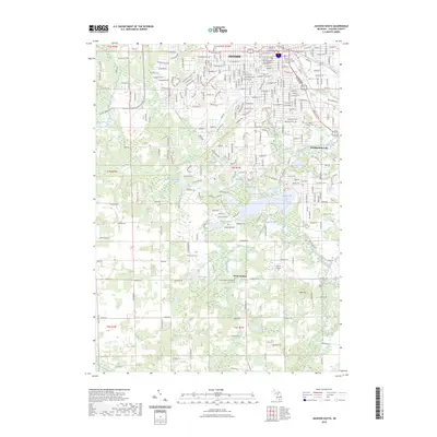
2011 Gilletts Lake
Jackson County, MI
2011 Jackson North
Jackson County, MI
2011 Jackson South
Jackson County, MI
2011 Northeast Albion
Jackson County, MI
2011 Norvell
Jackson County, MI
2011 Southeast Albion
Jackson County, MI
2014 Gilletts Lake
Jackson County, MI
2014 Jackson North
Jackson County, MI
2014 Jackson South
Jackson County, MI
2014 Northeast Albion
Jackson County, MI
2014 Norvell
Jackson County, MI
2014 Southeast Albion
Jackson County, MI
2017 Gilletts Lake
Jackson County, MI
2017 Jackson North
Jackson County, MI
2017 Jackson South
Jackson County, MI
2017 Northeast Albion
Jackson County, MI
2017 Norvell
Jackson County, MI
2017 Southeast Albion
Jackson County, MI
2019 Gilletts Lake
Jackson County, MI
2019 Jackson North
Jackson County, MI
2019 Jackson South
Jackson County, MI
2019 Northeast Albion
Jackson County, MI
2019 Norvell
Jackson County, MI
2019 Southeast Albion
Jackson County, MI
2023 Gilletts Lake
Jackson County, MI
2023 Jackson North
Jackson County, MI
2023 Jackson South
Jackson County, MI
2023 Northeast Albion
Jackson County, MI
2023 Norvell
Jackson County, MI
2023 Southeast Albion
Jackson County, MI
Featured Locations
- Blackman Charter Township, MI
- Grass Lake Charter Township, MI
- Jackson, MI
- Rives Township, MI
- Roots, Henrietta Township