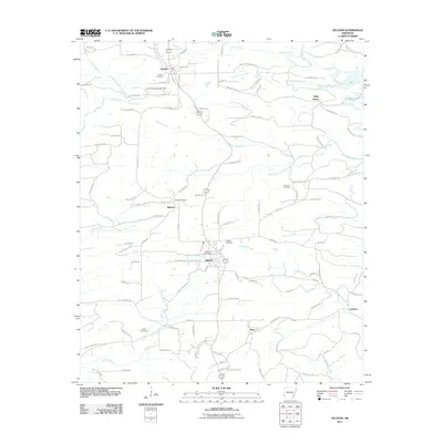
2011 Map of Gillham
USGS Topo · Published 2011About this map
Grannis and Gillham anchor this pocket of western Arkansas, where the landscape is defined by the winding waters of the Rolling Fork and the significant impoundment at Gillham Lake. The terrain is deeply carved by a network of drainage systems, including Coon Creek, Carters Creek, and Almond Creek, which dictate the local road patterns and settlement locations. This 2011 survey reveals an area characterized by rural utility and ancestral sites, with numerous burial grounds such as Mineral Cemetery, Overturf Cemetery, and Valley Cemetery scattered across the hills. Industrial footprints are visible through features like the Land Processing Lake Dam and the Gillham Lake Dam, while the presence of Line Rd highlights the transportation corridors that historically connected these communities to the wider region. Smaller locales like Holly Grove, King, and Fairview further illustrate the dispersed residential character of the county during this era.
Find a feature on this map
111 named features on this map. Tap any name to fly to it.
Don’t see what you’re looking for? This feature index may not catch every label — zoom into the map to look around manually.
Map Details
Editions of this 2011 Gillham Map
This is the sole edition of this map. No revisions or reprints were ever made.
Other maps of this area

1913 · De Queen
USGS Topo · 1:125,000

1950 · Mcalester
USGS Topo · 1:250,000

1959 · Umpire
USGS Topo · 1:62,500

1959 · Cove
USGS Topo · 1:62,500

1962 · McAlester
USGS Topo · 1:250,000

1964 · Gillham Dam
USGS Topo · 1:24,000

1964 · Gillham
USGS Topo · 1:24,000

1965 · McAlester
USGS Topo · 1:250,000
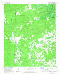
1965 · Chapel Hill
USGS Topo · 1:24,000
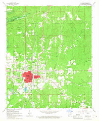
1966 · De Queen
USGS Topo · 1:24,000