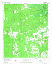
1965 Map of Chapel Hill
USGS Topo · Published 1967About this map
Ultima Thule sits at the edge of the border between Arkansas and Oklahoma, serving as a focal point for this mid-1960s survey. The landscape is defined by the winding course of the Rolling Fork and its major tributaries, including Buckhorn Creek and Cane Creek. In the northeast, the De Queen Reservoir was newly formed, with a Levee (Under Constr) signaling the engineering changes coming to the river valley.
Find a feature on this map
38 named features on this map. Tap any name to fly to it.
Don’t see what you’re looking for? This feature index may not catch every label — zoom into the map to look around manually.
Map Details
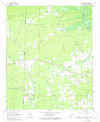
Editions of this 1965 Chapel Hill Map
2 editions found
Other maps of this area

1902 · Lukfata
USGS Topo · 1:125,000

1913 · De Queen
USGS Topo · 1:125,000

1950 · Mcalester
USGS Topo · 1:250,000

1950 · Goodwater
USGS Topo · 1:24,000

1951 · Goodwater
USGS Topo · 1:24,000

1951 · Cerrogordo
USGS Topo · 1:24,000

1951 · Horatio
USGS Topo · 1:24,000

1953 · Texarkana
USGS Topo · 1:250,000

1956 · Texarkana
USGS Topo · 1:250,000

1959 · Broken Bow
USGS Topo · 1:62,500