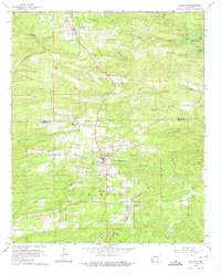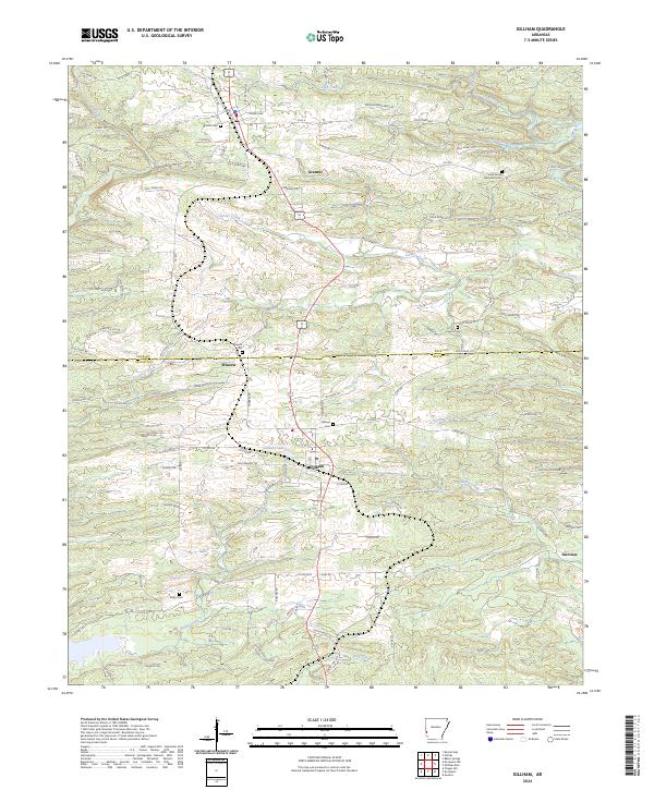
2024 Map of Gillham
USGS Topo · Published 2024About this map
Grannis and Gillham serve as the primary hubs along the shared border of Polk and Sevier counties, anchored by a network of rural roads such as Polk Road 4 and Polk Road 204. This modern survey reveals a landscape defined by its waterways, most notably the expansive Gillham Lake and the winding Rolling Fork river. The area's genealogical depth is evident in the numerous burial grounds scattered throughout the township, including Grannis Cem, Mineral Cem, and Holly Grove Memorial Cem. Smaller communities like Mineral and Fairview are connected by a web of local routes like Co Rd 3 and Line Rd, reflecting the persistent settlement patterns of this Ouachita mountain foothills region. Significant creeks, such as Carters Creek and Coon Creek, carve through the terrain, illustrating the natural drainage systems that have influenced local land use for generations.
Find a feature on this map
110 named features on this map. Tap any name to fly to it.
Don’t see what you’re looking for? This feature index may not catch every label — zoom into the map to look around manually.
Map Details
Editions of this 2024 Gillham Map
This is the sole edition of this map. No revisions or reprints were ever made.