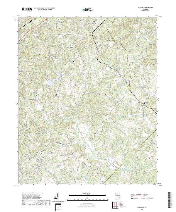
2024 Map of Gillsville
USGS Topo · Published 2024About this map
Gillsville and the southern edge of Lula anchor this contemporary mapping of the Georgia Piedmont, where the North Oconee River winds through a landscape defined by small family and community burial grounds. The map is a valuable resource for genealogists, detailing numerous historic sites such as Dunagans Chapel Methodist Cem, Lebanon Methodist Cem, and the King Cem. These sites, along with the Whitehall Cem and Timber Ridge Cem, provide a clear index of the area's ancestral settlements and family homesteads.
Find a feature on this map
136 named features on this map. Tap any name to fly to it.
Don’t see what you’re looking for? This feature index may not catch every label — zoom into the map to look around manually.
Map Details
Editions of this 2024 Gillsville Map
This is the sole edition of this map. No revisions or reprints were ever made.
Other maps of this area

1891 · Gainesville
USGS Topo · 1:125,000

1954 · Greenville
USGS Topo · 1:250,000

1958 · Greenville
USGS Topo · 1:250,000

1964 · Maysville
USGS Topo · 1:24,000

1964 · Chestnut Mountain
USGS Topo · 1:24,000

1964 · Lula
USGS Topo · 1:24,000

1964 · Gainesville
USGS Topo · 1:24,000

1964 · Pendergrass
USGS Topo · 1:24,000
1964 · Baldwin
USGS Topo · 1:24,000
1964 · Gillsville
USGS Topo · 1:24,000