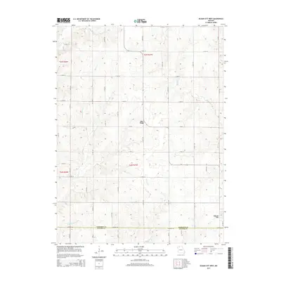
2014 Map of Gilman City West
USGS Topo · Published 2014About this map
Blue Ridge sits atop the high ground of the Missouri prairie, serving as a quiet focal point in this rural landscape of northern Harrison Co. The topography is defined by a dense network of watercourses that drain the agricultural terrain, including Cypress Creek, Polecat Creek, and Sugar Creek. To the southeast, the outskirts of Gilman City mark the boundary between Harrison and Daviess Co, reflecting the long-standing county line divisions established in the 19th century.
Find a feature on this map
45 named features on this map. Tap any name to fly to it.
Don’t see what you’re looking for? This feature index may not catch every label — zoom into the map to look around manually.
Map Details
Editions of this 2014 Gilman City West Map
This is the sole edition of this map. No revisions or reprints were ever made.
Other maps of this area

1925 · Pattonsburg
USGS Topo · 1:62,500

1925 · Gilman
USGS Topo · 1:62,500

1944 · Pattonsburg
USGS Topo · 1:62,500

1946 · Gilman
USGS Topo · 1:48,000

1946 · Pattonsburg
USGS Topo · 1:48,000

1947 · Blythedale
USGS Topo · 1:62,500

1948 · Gilman
USGS Topo · 1:62,500

1948 · Bethany
USGS Topo · 1:62,500

1948 · Pattonsburg
USGS Topo · 1:62,500

1954 · Centerville
USGS Topo · 1:250,000