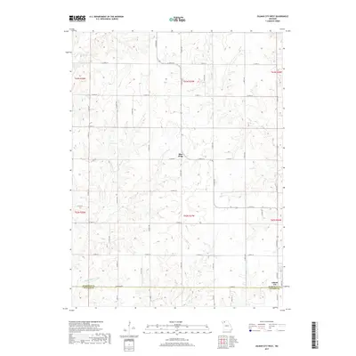
2017 Map of Gilman City West
USGS Topo · Published 2017About this map
Gilman City anchors the southeast corner of this Missouri landscape, which sits along the border of Harrison County and Daviess County. The terrain is defined by a dense network of meandering waterways, including Big Muddy Creek, Hickory Creek, and Sugar Creek. The settlement of Blue Ridge occupies a central position among these drainages, connected by a rigid grid of local roads such as Ashwood Avenue and County Line Road.
Find a feature on this map
43 named features on this map. Tap any name to fly to it.
Don’t see what you’re looking for? This feature index may not catch every label — zoom into the map to look around manually.
Map Details
Editions of this 2017 Gilman City West Map
This is the sole edition of this map. No revisions or reprints were ever made.
Other maps of this area
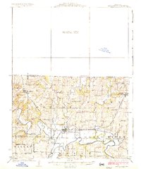
1925 · Pattonsburg
USGS Topo · 1:62,500
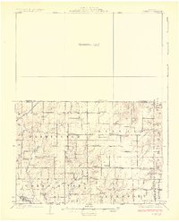
1925 · Gilman
USGS Topo · 1:62,500
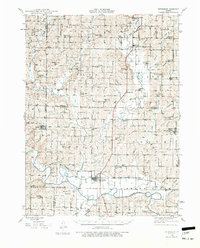
1944 · Pattonsburg
USGS Topo · 1:62,500
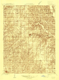
1946 · Gilman
USGS Topo · 1:48,000
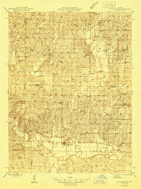
1946 · Pattonsburg
USGS Topo · 1:48,000
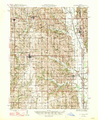
1947 · Blythedale
USGS Topo · 1:62,500
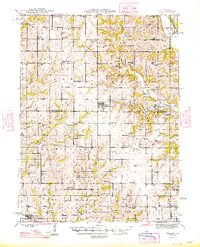
1948 · Gilman
USGS Topo · 1:62,500
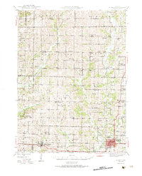
1948 · Bethany
USGS Topo · 1:62,500
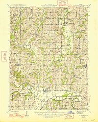
1948 · Pattonsburg
USGS Topo · 1:62,500

1954 · Centerville
USGS Topo · 1:250,000