
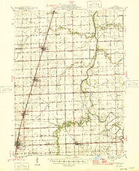
1946 Map of Gilman
USGS Topo · Published 1946About this map
Gilman serves as a critical junction for the Illinois Central and Toledo Peoria and Western railroads, anchoring a landscape of grid-patterned agriculture in central Illinois. This mid-century survey reveals a dense network of local education, with one-room schoolhouses such as College Corner Sch and Schoon Sch spaced frequently across the prairie. The Iroquois River winds through the eastern portion of the quadrangle, crossed by named crossings like Ferry Bridge and Fiddler Bridge, which provided vital links for the rural population.
Find a feature on this map
63 named features on this map. Tap any name to fly to it.
Don’t see what you’re looking for? This feature index may not catch every label — zoom into the map to look around manually.
Map Details
Editions of this 1946 Gilman Map
2 editions found
Other maps of this area

1922 · Momence
USGS Topo · 1:62,500

1922 · Kankakee
USGS Topo · 1:62,500

1923 · Herscher
USGS Topo · 1:62,500

1924 · Momence
USGS Topo · 1:62,500

1924 · Kankakee
USGS Topo · 1:62,500

1925 · Herscher
USGS Topo · 1:62,500

1935 · Watseka
USGS Topo · 1:48,000

1938 · Milford
USGS Topo · 1:48,000

1939 · Watseka
USGS Topo · 1:62,500

1939 · Cissna Park
USGS Topo · 1:62,500