Loading...
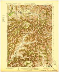
Loading map...1932 Map of Gilmanton
USGS Topo · Published 1932About this map
The Buffalo River and Elk Creek corridors define the drainage of this dissected landscape in the early 1930s, where small farming communities are connected by an extensive network of rural schools and winding valley roads. The map illustrates a high density of local educational sites, such as the Meadowbrook Sch and Hanson Sch, suggesting a period when local children attended one-room schoolhouses within walking distance of their family farms.
Find a feature on this map
84 named features on this map. Tap any name to fly to it.
Don’t see what you’re looking for? This feature index may not catch every label — zoom into the map to look around manually.
Map Details
Date Portrayed1932
Date Published1932
PublisherU.S. Geological Survey
Map TypeTopographic
Scale1:62,500
Physical Dimensions16.79 x 20.31 inches
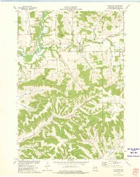
Editions of this 1932 Gilmanton Map
2 editions found

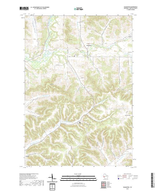
Historical Maps of Arcadia Through Time
3 maps found
Featured Locations
Source Details
SourceU.S. Geological Survey
CopyrightPublic Domain