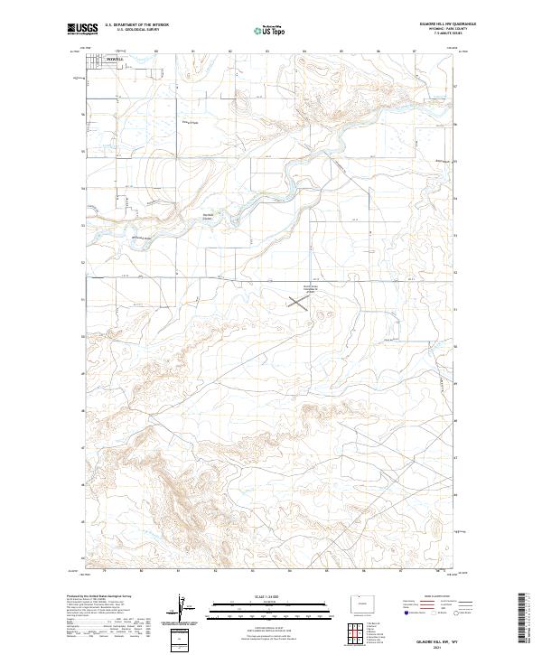
2021 Map of Gilmore Hill NW
USGS Topo · Published 2021About this map
The agricultural landscape of the Bighorn Basin comes into sharp focus south of Powell, where a complex network of irrigation infrastructure supports life on the Powell Flats. The Shoshone River winds through the northern portion of the map, flanked by vital water management features like the Elk Lovell Canal and numerous laterals, including Lateral T and Lateral W. These man-made waterways contrast with the natural drainage systems of Peerless Coulee and Willwood Draw.
Find a feature on this map
34 named features on this map. Tap any name to fly to it.
Don’t see what you’re looking for? This feature index may not catch every label — zoom into the map to look around manually.
Map Details
Editions of this 2021 Gilmore Hill NW Map
This is the sole edition of this map. No revisions or reprints were ever made.
Other maps of this area

1955 · Cody
USGS Topo · 1:250,000

1958 · Cody
USGS Topo · 1:250,000

1962 · Cody
USGS Topo · 1:250,000

1966 · Gilmore Hill NE
USGS Topo · 1:24,000

1966 · Gilmore Hill SE
USGS Topo · 1:24,000

1966 · Stone Barn Camp
USGS Topo · 1:24,000

1966 · Garland
USGS Topo · 1:24,000

1966 · Elk Basin SE
USGS Topo · 1:24,000

1966 · Gilmore Hill NW
USGS Topo · 1:24,000

1966 · Gilmore Hill
USGS Topo · 1:24,000