
1987 Map of Gilmore
USGS Topo · Published 1987About this map
The mining settlement of Gilmore sits at the edge of the Lemhi Range, where industrial activity once dominated the slopes of the Salmon National Forest and Challis National Forest. By the late 20th century, this map records an extensive network of extractive history, marked by numerous prospects, adits, and mine shafts. Notable workings like the Brown Bull Mine, Ridgeway Mine, and Mountain Boy Mine dot the high elevations around Portland Mountain. The landscape is physically etched with the remains of former transport systems, most notably an Old Railroad Grade that winds through the foothills above Texas Creek. This juxtaposition of high-altitude wilderness, seen at Negro Peak and Mill Creek Lake, with the scarred terrain of the mining era, provides a detailed record of the region's complex economic and environmental history.
Find a feature on this map
46 named features on this map. Tap any name to fly to it.
Don’t see what you’re looking for? This feature index may not catch every label — zoom into the map to look around manually.
Map Details
Editions of this 1987 Gilmore Map
This is the sole edition of this map. No revisions or reprints were ever made.
Other maps of this area

1955 · Dubois
USGS Topo · 1:250,000

1956 · Leadore
USGS Topo · 1:62,500

1956 · Morrison Lake
USGS Topo · 1:62,500

1956 · Nicholia
USGS Topo · 1:62,500

1957 · Gilmore
USGS Topo · 1:62,500

1958 · Dubois
USGS Topo · 1:250,000

1980 · Leadore
USGS Topo · 1:100,000

1987 · Purcell Spring
USGS Topo · 1:24,000
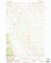
1987 · Gilmore Summit
USGS Topo · 1:24,000
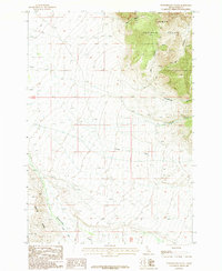
1987 · Powderhorn Gulch
USGS Topo · 1:24,000