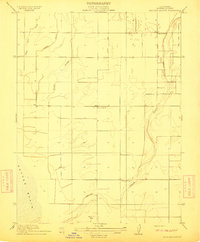
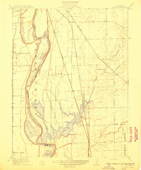
1911 Map of Gilsizer Slough
USGS Topo · Published 1911About this map
The Sutter Basin floor is defined by an intricate network of waterways and drainage channels in this 1911 survey of the Sacramento Valley. Meandering paths of the Snake River, Snake Slough, and Gilsizer Slough illustrate the complex hydrology of the region before modern large-scale reclamation fully reshaped the landscape. The agricultural character of the era is evident in the presence of the Liveoak Canal, which cuts a straight line through the natural drainage patterns, signaling early efforts to manage water for farming.
Find a feature on this map
12 named features on this map. Tap any name to fly to it.
Don’t see what you’re looking for? This feature index may not catch every label — zoom into the map to look around manually.
Map Details
Editions of this 1911 Gilsizer Slough Map
This is the sole edition of this map. No revisions or reprints were ever made.
Other maps of this area

1888 · Marysville
USGS Topo · 1:125,000

1891 · Marysville
USGS Topo · 1:125,000
1894 · Marysville
USGS Topo · 1:125,000
1895 · Marysville
USGS Topo · 1:125,000
1907 · Dunnigan
USGS Topo · 1:62,500
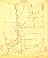
1910 · Nicolaus
USGS Topo · 1:31,680
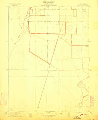
1910 · Marcuse
USGS Topo · 1:31,680
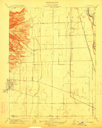
1911 · Sutter
USGS Topo · 1:31,680
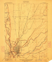
1911 · Yuba City
USGS Topo · 1:31,680
1911 · Ostrom
USGS Topo · 1:31,680